Edited by James E. Palmer and Russell R. Dutcher - University of ...
Edited by James E. Palmer and Russell R. Dutcher - University of ...
Edited by James E. Palmer and Russell R. Dutcher - University of ...
You also want an ePaper? Increase the reach of your titles
YUMPU automatically turns print PDFs into web optimized ePapers that Google loves.
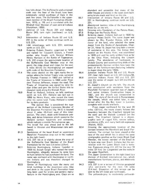
low hills ahead. The Buffaloville <strong>and</strong> unnamedcoals near the base <strong>of</strong> theextensively mined siueftheast <strong>of</strong> Dale in theRoute 345; turn right (northeast) on U.S.231.Intersection <strong>of</strong> Indiana oute 62 <strong>and</strong> U.S.231 in the center <strong>of</strong> Dale; continue north onU.S. 231.I-64 interchange with U.north on U.S. 231.Entering Dubois County;<strong>and</strong> named for Toussaint Bubois, a Frenchsoldier who fought with General WilliamHenry Harrison at the attle <strong>of</strong> Tippecanoe.U.S. 231 crosses the approximate location <strong>of</strong>the Buffaloville Coal Member crop at thisridge ahead <strong>and</strong> ridges for the nextHuntingburg) are cappedeanton Formation.n the right marks the Iscationwhere the Indian Treaty Line, surveyed<strong>by</strong> Thomas Freeman in 18the Treaty <strong>of</strong> Vincennes indent Thomas Jefferson, crosses the road. TheTreaty <strong>of</strong> Vincennes was signedian tribes <strong>and</strong> gave the Uniteddisputed l<strong>and</strong>s along the WabashRoad to Holl<strong>and</strong>, Indiana, onnorth on U.S. 231. Holl<strong>and</strong> was laid out in1859 <strong>by</strong> Henry Kunm, who named the townafter his native l<strong>and</strong>. Today Holl<strong>and</strong> is notedfor its dairy products.The section that is considered the typesection <strong>of</strong> the Holl<strong>and</strong> Limestone Member <strong>of</strong>the Staunton Formation (fig. IN-2) is locatedabout 4 miles (6.4 kmj west <strong>of</strong> this intersection.The chert, shale with limestone pebbles,<strong>and</strong> dense limestone which comprise theHoll<strong>and</strong> contain fusuiinids <strong>and</strong> ostracods,which indicate a middleThe broad flat area ahead <strong>and</strong> to the left(west) is Illinoian <strong>and</strong> Wisconsinan lake sediments.S<strong>and</strong>stones <strong>of</strong> the basal razil or uppermostMansfield Formation crop out in the roadcutto the right (east).U.S. 231 lies at or slightly above the crop <strong>of</strong>the Buffalovilie Coal Member <strong>of</strong> the Brazi!Formation for the nextuntingburg, Indiana; founded in1839 <strong>by</strong> Joseph Geiger who named the townHuntingdon, allegedly because he came hereto hunt before he had purchased the l<strong>and</strong>. Thename was confused with Huntington in northernlndiana <strong>and</strong> was therefore changed to- Huntingburg.Center <strong>of</strong> Huntingburg; note the many oidbrick buildings in the downtown area. Clay<strong>and</strong> shale in the upper raziil Formation havelong been used for bricks <strong>and</strong> pottery manufacturein the Huntingburg area. Clays are soabundant <strong>and</strong> accessible "chat bT-snau?gJ <strong>of</strong> theolder houses <strong>and</strong> stores in the town were builtusing bricks made <strong>and</strong> fired on %he site.intersection <strong>of</strong> In231 in Huntingburg; csntinue north ran231.Ab<strong>and</strong>oned beehive kilns <strong>of</strong> the Hurn tingburgBrick Co. on the left.Crossing onto floodplain <strong>of</strong> the Patoka<strong>of</strong> commerce in this area. The Enlow Mill,located on the Pataka W iver, was established<strong>and</strong> used <strong>by</strong> early settlers from as farver, including the Lincolnundance <strong>of</strong> hardwoods inDubois County <strong>and</strong> woodworking skiils <strong>of</strong> thepredominantly German sei:tkrs !maw bebasis <strong>of</strong> the furnittjre-manufacturii'~g inin Jasper since theJunction lndiana231; bear right (east) on U,S, 23L-0ndEal-i;a 56.Junction Indiana Route 162 <strong>and</strong> U.S. 231near the cen-ter <strong>of</strong> Jasper; turn left (north) anU.S. 231.St. Joseph's Church on the left. The GP'SU~BS~was constructed with s<strong>and</strong>stcane from theMansfield Formation quarried east <strong>of</strong> Jasper,<strong>and</strong> native timbers, Construction began in1887, <strong>and</strong> the church was c1888. The styte <strong>of</strong> the church isthe steeple, which was addedterned after theboundary betweenthe east) <strong>and</strong> thewest). The Crawfos<strong>and</strong>stone cliffs, <strong>and</strong> many bedrock exposures(Maiott, 1922).Crossing the approximate Jucatisn <strong>of</strong> thecontact between the Mansf ield <strong>and</strong> Brazil Formations.The contact has been placed at thebase <strong>of</strong> the coal which lies in about the samestratigraphic position as the Lower Block CoalMember, the lowest member <strong>of</strong> the Brazil inits type area near Brazil, bndiana, but the eorrelationwith the Lower Biock coal is tentative.Exposures along US. 231 tor the next ilgootee) are the rocks inn "E rrke right (east) is adivision <strong>of</strong> Kimball Inlernakiol-ial, Ine., whichmanufactures furniture, piarios, <strong>and</strong> electronicorgans.U.S. 231 is on a terrace <strong>of</strong> Illinoiai-m proglaciallake sediments far the next 1.5 miles(2.4 km). Dissection <strong>of</strong> this terrace can beseen to the ieft (west <strong>and</strong> northwest),he yeilowish-gray to moderately yeslowish-


