Data Acquisition and Processing Report (DAPR) - Center for Coastal ...
Data Acquisition and Processing Report (DAPR) - Center for Coastal ...
Data Acquisition and Processing Report (DAPR) - Center for Coastal ...

Create successful ePaper yourself
Turn your PDF publications into a flip-book with our unique Google optimized e-Paper software.
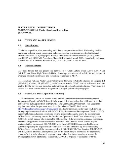
WATER LEVEL INSTRUCTIONS<br />
M-I905-NF-2009 U.S. Virgin Isl<strong>and</strong>s <strong>and</strong> Puerto Rico<br />
(1/8/2009 CFL)<br />
1.0. TIDES AND WATER LEVELS<br />
1.1. Specifications<br />
Tidal data acquisition, data processing, tidal datum computation <strong>and</strong> final tidal zoning shall be<br />
per<strong>for</strong>med utilizing sound engineering <strong>and</strong> oceanographic practices as specified in National<br />
Ocean Service (NOS) Hydrographic Surveys Specifications <strong>and</strong> Deliverables (HSSD), dated<br />
April 2007, <strong>and</strong> OCS Field Procedures Manual (FPM), dated March 2007. Specifically reference<br />
Chapter 4 of the HSSD <strong>and</strong> Sections 1.5.8, 1.5.9, 2.4.5, <strong>and</strong> 3.4.2 of the FPM.<br />
1.2. Vertical Datums<br />
The tidal datums <strong>for</strong> this project are referenced to Chart Datum, Mean Lower Low Water<br />
(MLLW) <strong>and</strong> Mean High Water (MHW). Soundings are referenced to MLLW <strong>and</strong> heights of<br />
overhead obstructions (bridges <strong>and</strong> cables) are referenced to MHW.<br />
The operating National Water Level Observation Network (NWLON) stations at Vieques, PR<br />
(975-2695), Culebra, PR (975-2235), <strong>and</strong> Charlotte Amelie, VI (975-1639) will serve as datum<br />
control <strong>for</strong> the survey area including determination at each subordinate station. There<strong>for</strong>e, it is<br />
critical that these stations remain in operation during all periods of hydrography.<br />
1.2.1. Water Level <strong>Data</strong> <strong>Acquisition</strong> Monitoring<br />
The Comm<strong>and</strong>ing Officer (or Team Leader) <strong>and</strong> the <strong>Center</strong> <strong>for</strong> Operational Oceanographic<br />
Products <strong>and</strong> Services (CO-OPS) are jointly responsible <strong>for</strong> ensuring that valid water level data<br />
are collected during periods of hydrography. The Comm<strong>and</strong>ing Officer (or Team Leader) is<br />
required to monitor the pertinent water level data via the CO-OPS Web site at<br />
http://tides<strong>and</strong>currents.noaa.gov/hydro.shtml, email data transmissions through TIDEBOT, or<br />
through regular communications with CO-OPS/Requirements <strong>and</strong> Development Division (RDD)<br />
personnel be<strong>for</strong>e <strong>and</strong> during operations. During traditional non duty hours, the Comm<strong>and</strong>ing<br />
Officer/Team Leader may contact the Continuous Operational Real-Time Monitoring System<br />
(CORMS) watch st<strong>and</strong>er who is available 24 hours/day - 7 days/week <strong>for</strong> assistance in assessing<br />
the status of applicable water level station operation. The CORMS watch st<strong>and</strong>er may be<br />
contacted either by phone at 301-713-2540 or by Email: CORMS@noaa.gov. Problems or<br />
concerns regarding the acquisition of valid water level data identified by the Comm<strong>and</strong>ing<br />
Officer/Team Leader shall be communicated with CO-OPS/RDD (Tom L<strong>and</strong>on, 301-713-2897<br />
ext. 191, Email: Thomas.L<strong>and</strong>on@noaa.gov on the East Coast) to coordinate the appropriate<br />
course of action to be taken such as gauge repair <strong>and</strong>/or developing contingency plans <strong>for</strong><br />
hydrographic survey operations. In addition, CO-OPS is required to coordinate with the<br />
95