Sample A: Cover Page of Thesis, Project, or Dissertation Proposal
Sample A: Cover Page of Thesis, Project, or Dissertation Proposal
Sample A: Cover Page of Thesis, Project, or Dissertation Proposal
Create successful ePaper yourself
Turn your PDF publications into a flip-book with our unique Google optimized e-Paper software.
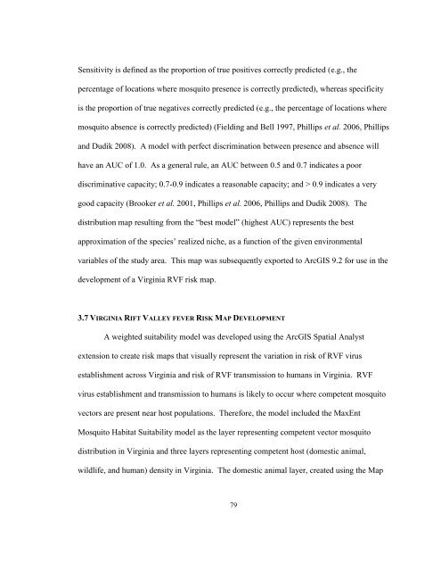
Sensitivity is defined as the prop<strong>or</strong>tion <strong>of</strong> true positives c<strong>or</strong>rectly predicted (e.g., the<br />
percentage <strong>of</strong> locations where mosquito presence is c<strong>or</strong>rectly predicted), whereas specificity<br />
is the prop<strong>or</strong>tion <strong>of</strong> true negatives c<strong>or</strong>rectly predicted (e.g., the percentage <strong>of</strong> locations where<br />
mosquito absence is c<strong>or</strong>rectly predicted) (Fielding and Bell 1997, Phillips et al. 2006, Phillips<br />
and Dudik 2008). A model with perfect discrimination between presence and absence will<br />
have an AUC <strong>of</strong> 1.0. As a general rule, an AUC between 0.5 and 0.7 indicates a po<strong>or</strong><br />
discriminative capacity; 0.7-0.9 indicates a reasonable capacity; and > 0.9 indicates a very<br />
good capacity (Brooker et al. 2001, Phillips et al. 2006, Phillips and Dudik 2008). The<br />
distribution map resulting from the “best model” (highest AUC) represents the best<br />
approximation <strong>of</strong> the species‟ realized niche, as a function <strong>of</strong> the given environmental<br />
variables <strong>of</strong> the study area. This map was subsequently exp<strong>or</strong>ted to ArcGIS 9.2 f<strong>or</strong> use in the<br />
development <strong>of</strong> a Virginia RVF risk map.<br />
3.7 VIRGINIA RIFT VALLEY FEVER RISK MAP DEVELOPMENT<br />
A weighted suitability model was developed using the ArcGIS Spatial Analyst<br />
extension to create risk maps that visually represent the variation in risk <strong>of</strong> RVF virus<br />
establishment across Virginia and risk <strong>of</strong> RVF transmission to humans in Virginia. RVF<br />
virus establishment and transmission to humans is likely to occur where competent mosquito<br />
vect<strong>or</strong>s are present near host populations. Theref<strong>or</strong>e, the model included the MaxEnt<br />
Mosquito Habitat Suitability model as the layer representing competent vect<strong>or</strong> mosquito<br />
distribution in Virginia and three layers representing competent host (domestic animal,<br />
wildlife, and human) density in Virginia. The domestic animal layer, created using the Map<br />
79


![[Sample B: Approval/Signature Sheet] - George Mason University](https://img.yumpu.com/21978828/1/190x245/sample-b-approval-signature-sheet-george-mason-university.jpg?quality=85)
![[Sample B: Approval/Signature Sheet] - George Mason University](https://img.yumpu.com/18694905/1/190x245/sample-b-approval-signature-sheet-george-mason-university.jpg?quality=85)
![[Sample B: Approval/Signature Sheet] - George Mason University](https://img.yumpu.com/18694552/1/189x260/sample-b-approval-signature-sheet-george-mason-university.jpg?quality=85)
![[Sample B: Approval/Signature Sheet] - George Mason University](https://img.yumpu.com/18694474/1/190x245/sample-b-approval-signature-sheet-george-mason-university.jpg?quality=85)