

GEO Haiti 2010
GEO Haiti 2010
GEO Haiti 2010

You also want an ePaper? Increase the reach of your titles
YUMPU automatically turns print PDFs into web optimized ePapers that Google loves.
State of the Environment Report <strong>2010</strong><br />
2. Sea and Coastal Areas<br />
2.1 Geography<br />
According to UNESCO (1998), the country has<br />
a very narrow continental shelf, measuring<br />
5,000 km 2 . The underwater topography presents<br />
a significant incline. The 200 m isobath which<br />
forms the limit of the continental shelf is often<br />
located less than 300 m from the shoreline. The<br />
length of <strong>Haiti</strong>’s coastline is estimated to be<br />
1,500 km (REPUBLIQUE D’HAITI, 2004).<br />
2.2 Potential<br />
<strong>Haiti</strong>’s coastal marine heritage possesses<br />
exceptional wealth. It comprises three large<br />
ecosystems: hard bedrock occupied by reefs or<br />
coral communities, sand beds of seagrass beds,<br />
and finally the low-lying wetland coasts, and<br />
estuarial zones (Bouchon et al, 2000). Given that<br />
the country is located in a tropical zone, mangrove<br />
forests were formed in these areas.<br />
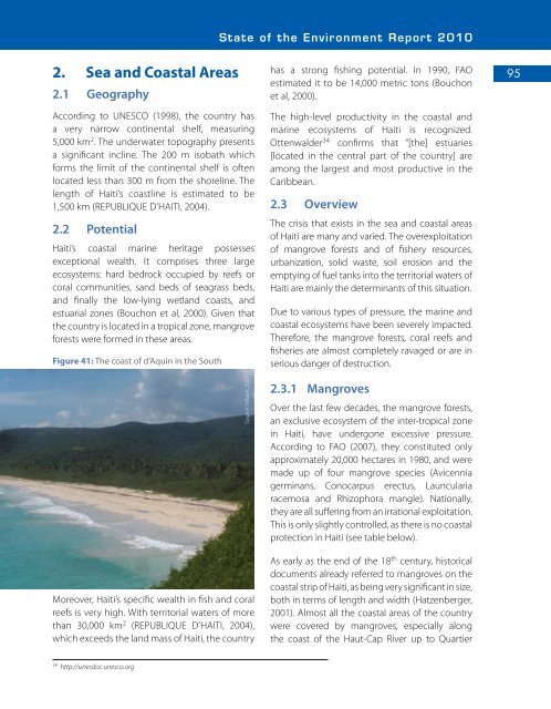
Figure 41: The coast of d’Aquin in the South<br />
Moreover, <strong>Haiti</strong>’s specific wealth in fish and coral<br />
reefs is very high. With territorial waters of more<br />
than 30,000 km 2 (REPUBLIQUE D’HAITI, 2004),<br />
which exceeds the land mass of <strong>Haiti</strong>, the country<br />
Source: Hilaire, 2007<br />
has a strong fishing potential. In 1990, FAO<br />
estimated it to be 14,000 metric tons (Bouchon<br />
et al, 2000).<br />
The high-level productivity in the coastal and<br />
marine ecosystems of <strong>Haiti</strong> is recognized.<br />
Ottenwalder 34 confirms that “[the] estuaries<br />
[located in the central part of the country] are<br />
among the largest and most productive in the<br />
Caribbean.<br />
2.3 Overview<br />
The crisis that exists in the sea and coastal areas<br />
of <strong>Haiti</strong> are many and varied. The overexploitation<br />
of mangrove forests and of fishery resources,<br />
urbanization, solid waste, soil erosion and the<br />
emptying of fuel tanks into the territorial waters of<br />
<strong>Haiti</strong> are mainly the determinants of this situation.<br />
Due to various types of pressure, the marine and<br />
coastal ecosystems have been severely impacted.<br />
Therefore, the mangrove forests, coral reefs and<br />
fisheries are almost completely ravaged or are in<br />
serious danger of destruction.<br />
2.3.1 Mangroves<br />
Over the last few decades, the mangrove forests,<br />
an exclusive ecosystem of the inter-tropical zone<br />
in <strong>Haiti</strong>, have undergone excessive pressure.<br />
According to FAO (2007), they constituted only<br />
approximately 20,000 hectares in 1980, and were<br />
made up of four mangrove species (Avicennia<br />
germinans, Conocarpus erectus, Launcularia<br />
racemosa and Rhizophora mangle). Nationally,<br />
they are all suffering from an irrational exploitation.<br />
This is only slightly controlled, as there is no coastal<br />
protection in <strong>Haiti</strong> (see table below).<br />
As early as the end of the 18 th century, historical<br />
documents already referred to mangroves on the<br />
coastal strip of <strong>Haiti</strong>, as being very significant in size,<br />
both in terms of length and width (Hatzenberger,<br />
2001). Almost all the coastal areas of the country<br />
were covered by mangroves, especially along<br />
the coast of the Haut-Cap River up to Quartier<br />
95<br />
34<br />
http://unesdoc.unesco.org


