12-14 September, 2011, Lucknow - Earth Science India
12-14 September, 2011, Lucknow - Earth Science India
12-14 September, 2011, Lucknow - Earth Science India
Create successful ePaper yourself
Turn your PDF publications into a flip-book with our unique Google optimized e-Paper software.
National Conference on <strong>Science</strong> of Climate Change and <strong>Earth</strong>’s Sustainability: Issues and Challenges ‘A Scientist-People Partnership’<br />
<strong>12</strong>-<strong>14</strong> <strong>September</strong>, <strong>2011</strong>, <strong>Lucknow</strong><br />
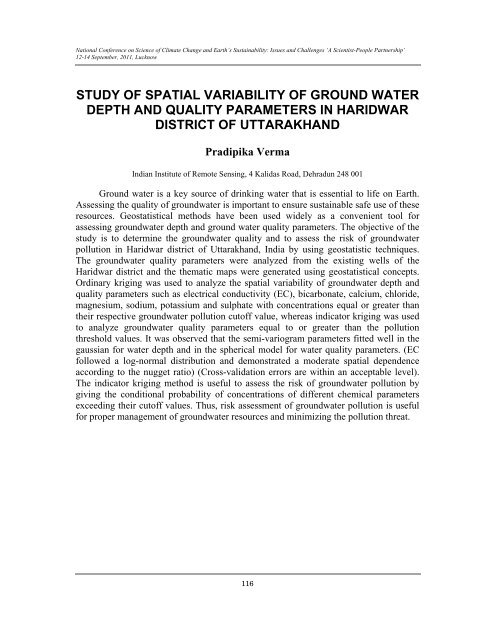
STUDY OF SPATIAL VARIABILITY OF GROUND WATER<br />
DEPTH AND QUALITY PARAMETERS IN HARIDWAR<br />
DISTRICT OF UTTARAKHAND<br />
Pradipika Verma<br />
<strong>India</strong>n Institute of Remote Sensing, 4 Kalidas Road, Dehradun 248 001<br />
Ground water is a key source of drinking water that is essential to life on <strong>Earth</strong>.<br />
Assessing the quality of groundwater is important to ensure sustainable safe use of these<br />
resources. Geostatistical methods have been used widely as a convenient tool for<br />
assessing groundwater depth and ground water quality parameters. The objective of the<br />
study is to determine the groundwater quality and to assess the risk of groundwater<br />
pollution in Haridwar district of Uttarakhand, <strong>India</strong> by using geostatistic techniques.<br />
The groundwater quality parameters were analyzed from the existing wells of the<br />
Haridwar district and the thematic maps were generated using geostatistical concepts.<br />
Ordinary kriging was used to analyze the spatial variability of groundwater depth and<br />
quality parameters such as electrical conductivity (EC), bicarbonate, calcium, chloride,<br />
magnesium, sodium, potassium and sulphate with concentrations equal or greater than<br />
their respective groundwater pollution cutoff value, whereas indicator kriging was used<br />
to analyze groundwater quality parameters equal to or greater than the pollution<br />
threshold values. It was observed that the semi-variogram parameters fitted well in the<br />
gaussian for water depth and in the spherical model for water quality parameters. (EC<br />
followed a log-normal distribution and demonstrated a moderate spatial dependence<br />
according to the nugget ratio) (Cross-validation errors are within an acceptable level).<br />
The indicator kriging method is useful to assess the risk of groundwater pollution by<br />
giving the conditional probability of concentrations of different chemical parameters<br />
exceeding their cutoff values. Thus, risk assessment of groundwater pollution is useful<br />
for proper management of groundwater resources and minimizing the pollution threat.<br />
116


