12-14 September, 2011, Lucknow - Earth Science India
12-14 September, 2011, Lucknow - Earth Science India
12-14 September, 2011, Lucknow - Earth Science India
You also want an ePaper? Increase the reach of your titles
YUMPU automatically turns print PDFs into web optimized ePapers that Google loves.
National Conference on <strong>Science</strong> of Climate Change and <strong>Earth</strong>’s Sustainability: Issues and Challenges ‘A Scientist-People Partnership’<br />
<strong>12</strong>-<strong>14</strong> <strong>September</strong>, <strong>2011</strong>, <strong>Lucknow</strong><br />
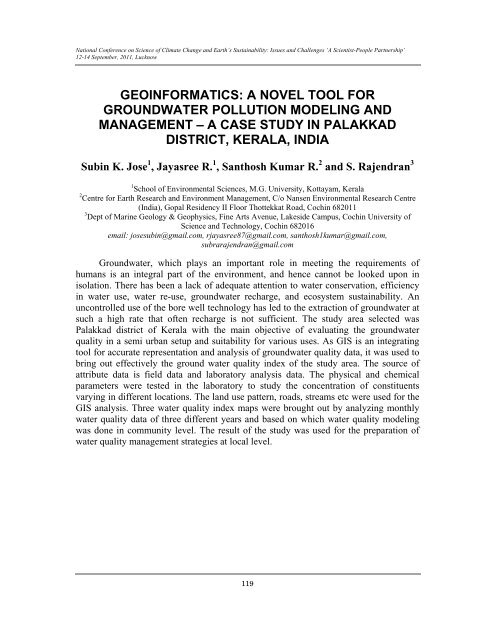
GEOINFORMATICS: A NOVEL TOOL FOR<br />
GROUNDWATER POLLUTION MODELING AND<br />
MANAGEMENT – A CASE STUDY IN PALAKKAD<br />
DISTRICT, KERALA, INDIA<br />
Subin K. Jose 1 , Jayasree R. 1 , Santhosh Kumar R. 2 and S. Rajendran 3<br />
1 School of Environmental <strong>Science</strong>s, M.G. University, Kottayam, Kerala<br />
2 Centre for <strong>Earth</strong> Research and Environment Management, C/o Nansen Environmental Research Centre<br />
(<strong>India</strong>), Gopal Residency II Floor Thottekkat Road, Cochin 68<strong>2011</strong><br />
3 Dept of Marine Geology & Geophysics, Fine Arts Avenue, Lakeside Campus, Cochin University of<br />
<strong>Science</strong> and Technology, Cochin 682016<br />
email: josesubin@gmail.com, rjayasree87@gmail.com, santhosh1kumar@gmail.com,<br />
subrarajendran@gmail.com<br />
Groundwater, which plays an important role in meeting the requirements of<br />
humans is an integral part of the environment, and hence cannot be looked upon in<br />
isolation. There has been a lack of adequate attention to water conservation, efficiency<br />
in water use, water re-use, groundwater recharge, and ecosystem sustainability. An<br />
uncontrolled use of the bore well technology has led to the extraction of groundwater at<br />
such a high rate that often recharge is not sufficient. The study area selected was<br />
Palakkad district of Kerala with the main objective of evaluating the groundwater<br />
quality in a semi urban setup and suitability for various uses. As GIS is an integrating<br />
tool for accurate representation and analysis of groundwater quality data, it was used to<br />
bring out effectively the ground water quality index of the study area. The source of<br />
attribute data is field data and laboratory analysis data. The physical and chemical<br />
parameters were tested in the laboratory to study the concentration of constituents<br />
varying in different locations. The land use pattern, roads, streams etc were used for the<br />
GIS analysis. Three water quality index maps were brought out by analyzing monthly<br />
water quality data of three different years and based on which water quality modeling<br />
was done in community level. The result of the study was used for the preparation of<br />
water quality management strategies at local level.<br />
119


