Proposed Submission: Gravesham Local Plan Core Strategy
Proposed Submission: Gravesham Local Plan Core Strategy
Proposed Submission: Gravesham Local Plan Core Strategy
Create successful ePaper yourself
Turn your PDF publications into a flip-book with our unique Google optimized e-Paper software.
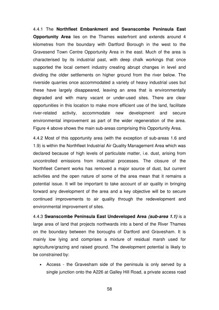
4.4.1 The Northfleet Embankment and Swanscombe Peninsula EastOpportunity Area lies on the Thames waterfront and extends around 4kilometres from the boundary with Dartford Borough in the west to theGravesend Town Centre Opportunity Area in the east. Much of the area ischaracterised by its industrial past, with deep chalk workings that oncesupported the local cement industry creating abrupt changes in level anddividing the older settlements on higher ground from the river below. Theriverside quarries once accommodated a variety of heavy industrial uses butthese have largely disappeared, leaving an area that is environmentallydegraded and with many vacant or under-used sites. There are clearopportunities in this location to make more efficient use of the land, facilitateriver-related activity, accommodate new development and secureenvironmental improvement as part of the wider regeneration of the area.Figure 4 above shows the main sub-areas comprising this Opportunity Area.4.4.2 Most of this opportunity area (with the exception of sub-areas 1.6 and1.9) is within the Northfleet Industrial Air Quality Management Area which wasdeclared because of high levels of particulate matter, i.e. dust, arising fromuncontrolled emissions from industrial processes. The closure of theNorthfleet Cement works has removed a major source of dust, but currentactivities and the open nature of some of the area mean that it remains apotential issue. It will be important to take account of air quality in bringingforward any development of the area and a key objective will be to securecontinued improvements to air quality through the redevelopment andenvironmental improvement of sites.4.4.3 Swanscombe Peninsula East Undeveloped Area (sub-area 1.1) is alarge area of land that projects northwards into a bend of the River Thameson the boundary between the boroughs of Dartford and <strong>Gravesham</strong>. It ismainly low lying and comprises a mixture of residual marsh used foragriculture/grazing and raised ground. The development potential is likely tobe constrained by:• Access - the <strong>Gravesham</strong> side of the peninsula is only served by asingle junction onto the A226 at Galley Hill Road, a private access road58


