Inventory and Survey Methods for Nonindigenous Plant Species (PDF)
Inventory and Survey Methods for Nonindigenous Plant Species (PDF)
Inventory and Survey Methods for Nonindigenous Plant Species (PDF)
- No tags were found...
Create successful ePaper yourself
Turn your PDF publications into a flip-book with our unique Google optimized e-Paper software.
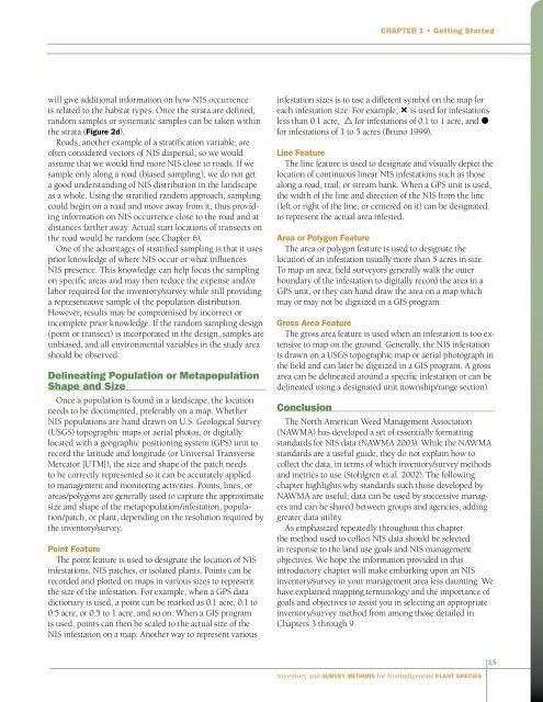
Chapter 1 • Getting Startedwill give additional in<strong>for</strong>mation on how NIS occurrenceis related to the habitat types. Once the strata are defined,r<strong>and</strong>om samples or systematic samples can be taken withinthe strata (Figure 2d).Roads, another example of a stratification variable, areoften considered vectors of NIS dispersal, so we wouldassume that we would find more NIS close to roads. If wesample only along a road (biased sampling), we do not geta good underst<strong>and</strong>ing of NIS distribution in the l<strong>and</strong>scapeas a whole. Using the stratified r<strong>and</strong>om approach, samplingcould begin on a road <strong>and</strong> move away from it, thus providingin<strong>for</strong>mation on NIS occurrence close to the road <strong>and</strong> atdistances farther away. Actual start locations of transects onthe road would be r<strong>and</strong>om (see Chapter 6).One of the advantages of stratified sampling is that it usesprior knowledge of where NIS occur or what influencesNIS presence. This knowledge can help focus the samplingon specific areas <strong>and</strong> may then reduce the expense <strong>and</strong>/orlabor required <strong>for</strong> the inventory/survey while still providinga representative sample of the population distribution.However, results may be compromised by incorrect orincomplete prior knowledge. If the r<strong>and</strong>om sampling design(point or transect) is incorporated in the design, samples areunbiased, <strong>and</strong> all environmental variables in the study areashould be observed.Delineating Population or MetapopulationShape <strong>and</strong> SizeOnce a population is found in a l<strong>and</strong>scape, the locationneeds to be documented, preferably on a map. WhetherNIS populations are h<strong>and</strong> drawn on U.S. Geological <strong>Survey</strong>(USGS) topographic maps or aerial photos, or digitallylocated with a geographic positioning system (GPS) unit torecord the latitude <strong>and</strong> longitude (or Universal TransverseMercator [UTM]), the size <strong>and</strong> shape of the patch needsto be correctly represented so it can be accurately appliedto management <strong>and</strong> monitoring activities. Points, lines, orareas/polygons are generally used to capture the approximatesize <strong>and</strong> shape of the metapopulation/infestation, population/patch,or plant, depending on the resolution required bythe inventory/survey.Point FeatureThe point feature is used to designate the location of NISinfestations, NIS patches, or isolated plants. Points can berecorded <strong>and</strong> plotted on maps in various sizes to representthe size of the infestation. For example, when a GPS datadictionary is used, a point can be marked as 0.1 acre, 0.1 to0.5 acre, or 0.5 to 1 acre, <strong>and</strong> so on. When a GIS programis used, points can then be scaled to the actual size of theNIS infestation on a map. Another way to represent variousinfestation sizes is to use a different symbol on the map <strong>for</strong>each infestation size. For example, — is used <strong>for</strong> infestationsless than 0.1 acre, r <strong>for</strong> infestations of 0.1 to 1 acre, <strong>and</strong> ò<strong>for</strong> infestations of 1 to 5 acres (Bruno 1999).Line FeatureThe line feature is used to designate <strong>and</strong> visually depict thelocation of continuous linear NIS infestations such as thosealong a road, trail, or stream bank. When a GPS unit is used,the width of the line <strong>and</strong> direction of the NIS from the line(left or right of the line, or centered on it) can be designatedto represent the actual area infested.Area or Polygon FeatureThe area or polygon feature is used to designate thelocation of an infestation usually more than 5 acres in size.To map an area, field surveyors generally walk the outerboundary of the infestation to digitally record the area in aGPS unit, or they can h<strong>and</strong> draw the area on a map whichmay or may not be digitized in a GIS program.Gross Area FeatureThe gross area feature is used when an infestation is too extensiveto map on the ground. Generally, the NIS infestationis drawn on a USGS topographic map or aerial photograph inthe field <strong>and</strong> can later be digitized in a GIS program. A grossarea can be delineated around a specific infestation or can bedelineated using a designated unit (township/range section).ConclusionThe North American Weed Management Association(NAWMA) has developed a set of essentially <strong>for</strong>mattingst<strong>and</strong>ards <strong>for</strong> NIS data (NAWMA 2003). While the NAWMAst<strong>and</strong>ards are a useful guide, they do not explain how tocollect the data, in terms of which inventory/survey methods<strong>and</strong> metrics to use (Stohlgren et al. 2002). The followingchapter highlights why st<strong>and</strong>ards such those developed byNAWMA are useful; data can be used by successive managers<strong>and</strong> can be shared between groups <strong>and</strong> agencies, addinggreater data utility.As emphasized repeatedly throughout this chapterthe method used to collect NIS data should be selectedin response to the l<strong>and</strong> use goals <strong>and</strong> NIS managementobjectives. We hope the in<strong>for</strong>mation provided in thisintroductory chapter will make embarking upon an NISinventory/survey in your management area less daunting. Wehave explained mapping terminology <strong>and</strong> the importance ofgoals <strong>and</strong> objectives to assist you in selecting an appropriateinventory/survey method from among those detailed inChapters 3 through 9.15<strong>Inventory</strong> <strong>and</strong> <strong>Survey</strong> <strong>Methods</strong> <strong>for</strong> <strong>Nonindigenous</strong> <strong>Plant</strong> <strong>Species</strong>


