Inventory and Survey Methods for Nonindigenous Plant Species (PDF)
Inventory and Survey Methods for Nonindigenous Plant Species (PDF)
Inventory and Survey Methods for Nonindigenous Plant Species (PDF)
- No tags were found...
You also want an ePaper? Increase the reach of your titles
YUMPU automatically turns print PDFs into web optimized ePapers that Google loves.
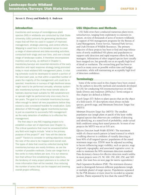
L<strong>and</strong>scape-Scale Wildl<strong>and</strong>Inventories/<strong>Survey</strong>s: Utah State University <strong>Methods</strong>Chapter 3Steven A. Dewey <strong>and</strong> Kimberly A. AndersenIntroductionInventories <strong>and</strong> surveys of nonindigenous plantspecies (NIS) in wildl<strong>and</strong>s are conducted by Utah StateUniversity (USU) primarily <strong>for</strong> generating distributionmaps that will then be used in support of improvedmanagement, strategic planning, <strong>and</strong> control ef<strong>for</strong>ts.Mapping is used here in its broadest sense to covera range of observational <strong>and</strong> data-recording activities,conducted both singly <strong>and</strong> over time, <strong>and</strong> over a broadrange of l<strong>and</strong>scape scales. It there<strong>for</strong>e encompassesinventory <strong>and</strong> survey, as defined in Chapter 1.Inventories/surveys are essential elements of the earlydetection <strong>and</strong> rapid response strategy being promotedtoday in most wildl<strong>and</strong> NIS management plans. A rotatingschedule could be developed to search a portion ofthe l<strong>and</strong> each year, so that within a specified number ofyears the majority of the management unit could be inspected.Inventories or surveys of high-likelihood areasmight need to be per<strong>for</strong>med annually, whereas systematicinventories/surveys of the most remote sites orhabitats deemed least suitable <strong>for</strong> NIS establishmentor spread might be per<strong>for</strong>med only once every five toten years. The goal is to schedule inventories/surveysoften enough to detect all new populations be<strong>for</strong>e theyexceed a size considered feasible <strong>for</strong> eradication. Earlydetection of NIS through regular inventories/surveysis just as essential to successful NIS managementas the early detection of wildfires is to effective firemanagement.The first step in any NIS mapping project is toestablish a clear set of objectives (see Chapter 1).The critical questions that must be answered be<strong>for</strong>eany field work begins include “what is the primarypurpose of the project?” <strong>and</strong> “how will the data beused?” Factors to consider in setting objectives includethe size of the area to be mapped <strong>and</strong> overall cost.The types of data that could be collected during fieldinventories/surveys are nearly limitless, as are thenumber of possible methods. Costs can range from afew cents to many dollars per acre. It is our observationthat without first establishing clear objectives,the tendency of many project planners is to collect farmore in<strong>for</strong>mation than will be needed, thus reducingthe number of acres that can be mapped <strong>and</strong> loweringoverall project efficiency.USU Objectives <strong>and</strong> <strong>Methods</strong>USU field crews have conducted numerous plant inventories/surveys,ranging from exploratory to extensive innature, on tens of thous<strong>and</strong>s of acres of western wildl<strong>and</strong>sin support of NIS management programs <strong>for</strong> the Bureau ofL<strong>and</strong> Management, Forest Service, National Park Service,<strong>and</strong> Utah Division of Wildlife Resources. The primaryobjective of these projects has been to find <strong>and</strong> map infestationsof newly established NIS plants <strong>and</strong> populations tosupport early detection <strong>and</strong> rapid response ef<strong>for</strong>ts by l<strong>and</strong>managers. Infestations of other targeted species have usuallybeen mapped too, but generally not at an equally high levelof detail or resolution. The overarching goal has been tosearch as many acres as possible within time <strong>and</strong> budgetconstraints, while still maintaining an acceptably high levelof detection confidence.TerminologySome of the terms used in this chapter have been createdby the authors to describe methods <strong>and</strong> st<strong>and</strong>ards developedby USU <strong>for</strong> conducting NIS inventories/surveys on wildl<strong>and</strong>s(Dewey <strong>and</strong> Andersen 2005a,b,c). Terms unique tothis chapter are defined as follows:Search Target (ST): Refers to plant species that are the objectof a field search. ST descriptions must always includespecies, growth stage, <strong>and</strong> Minimum Detection Target Size(MDTS).Minimum Detection Target Size (MDTS): The smallestpopulation size (single plant or patch) of the least visibletargeted species that observers are confident of detecting<strong>and</strong> identifying, at a stated level of probability, under actualfield conditions using their stated protocols. In most of ourprojects the MDTS was set at 0.01 acre.Effective Detection Swath Width (EDSW): The maximumwidth of a linear search pattern (a b<strong>and</strong> transect) in whicha walking observer is confident of visually detecting atleast 90% of all targeted species’ populations of the statedminimum target size. EDSW must be adjusted accordingto factors influencing target visibility, such as species, stageof growth, topography, <strong>and</strong> associated vegetative cover, inorder to maintain the 90% minimum detection st<strong>and</strong>ard.Data dictionary choices <strong>for</strong> effective detection swath widthsin most projects were 25, 50, 100, 150, 200, 250, <strong>and</strong> 300yards. (See inset box on next page <strong>for</strong> metric equivalents.)Patch Separation Resolution (PSR): The minimum distanceused to distinguish between different populations (singleor multiple plants) of target species. Populations separatedby the PSR distance or more must be recorded as separatepatches. <strong>Plant</strong>s separated by less than the stated PSR are22<strong>Inventory</strong> <strong>and</strong> <strong>Survey</strong> <strong>Methods</strong> <strong>for</strong> <strong>Nonindigenous</strong> <strong>Plant</strong> <strong>Species</strong>


