Inventory and Survey Methods for Nonindigenous Plant Species (PDF)
Inventory and Survey Methods for Nonindigenous Plant Species (PDF)
Inventory and Survey Methods for Nonindigenous Plant Species (PDF)
- No tags were found...
Create successful ePaper yourself
Turn your PDF publications into a flip-book with our unique Google optimized e-Paper software.
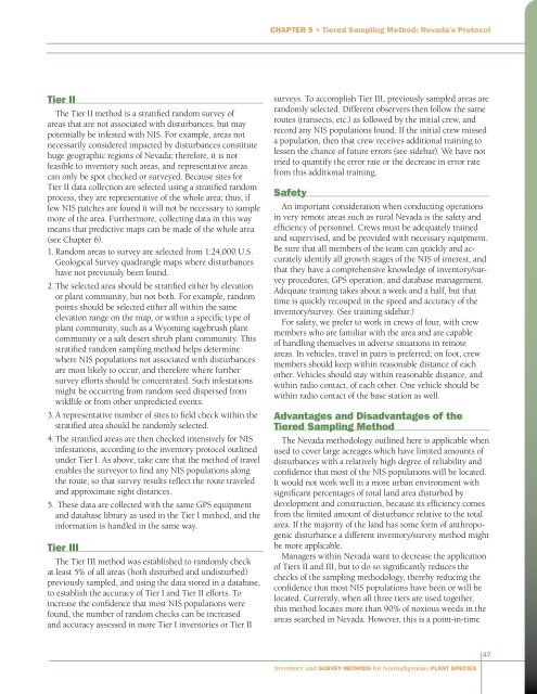
Chapter 5 • Tiered Sampling Method: Nevada’s ProtocolTier IIThe Tier II method is a stratified r<strong>and</strong>om survey ofareas that are not associated with disturbances, but maypotentially be infested with NIS. For example, areas notnecessarily considered impacted by disturbances constitutehuge geographic regions of Nevada; there<strong>for</strong>e, it is notfeasible to inventory such areas, <strong>and</strong> representative areascan only be spot checked or surveyed. Because sites <strong>for</strong>Tier II data collection are selected using a stratified r<strong>and</strong>omprocess, they are representative of the whole area; thus, iffew NIS patches are found it will not be necessary to samplemore of the area. Furthermore, collecting data in this waymeans that predictive maps can be made of the whole area(see Chapter 6).1. R<strong>and</strong>om areas to survey are selected from 1:24,000 U.S.Geological <strong>Survey</strong> quadrangle maps where disturbanceshave not previously been found.2. The selected area should be stratified either by elevationor plant community, but not both. For example, r<strong>and</strong>ompoints should be selected either all within the sameelevation range on the map, or within a specific type ofplant community, such as a Wyoming sagebrush plantcommunity or a salt desert shrub plant community. Thisstratified r<strong>and</strong>om sampling method helps determinewhere NIS populations not associated with disturbancesare most likely to occur, <strong>and</strong> there<strong>for</strong>e where furthersurvey ef<strong>for</strong>ts should be concentrated. Such infestationsmight be occurring from r<strong>and</strong>om seed dispersed fromwildlife or from other unpredicted events.3. A representative number of sites to field check within thestratified area should be r<strong>and</strong>omly selected.4. The stratified areas are then checked intensively <strong>for</strong> NISinfestations, according to the inventory protocol outlinedunder Tier I. As above, take care that the method of travelenables the surveyor to find any NIS populations alongthe route, so that survey results reflect the route traveled<strong>and</strong> approximate sight distances.5. These data are collected with the same GPS equipment<strong>and</strong> database library as used in the Tier I method, <strong>and</strong> thein<strong>for</strong>mation is h<strong>and</strong>led in the same way.Tier IIIThe Tier III method was established to r<strong>and</strong>omly checkat least 5% of all areas (both disturbed <strong>and</strong> undisturbed)previously sampled, <strong>and</strong> using the data stored in a database,to establish the accuracy of Tier I <strong>and</strong> Tier II ef<strong>for</strong>ts. Toincrease the confidence that most NIS populations werefound, the number of r<strong>and</strong>om checks can be increased<strong>and</strong> accuracy assessed in more Tier I inventories or Tier IIsurveys. To accomplish Tier III, previously sampled areas arer<strong>and</strong>omly selected. Different observers then follow the sameroutes (transects, etc.) as followed by the initial crew, <strong>and</strong>record any NIS populations found. If the initial crew misseda population, then that crew receives additional training tolessen the chance of future errors (see sidebar). We have nottried to quantify the error rate or the decrease in error ratefrom this additional training.SafetyAn important consideration when conducting operationsin very remote areas such as rural Nevada is the safety <strong>and</strong>efficiency of personnel. Crews must be adequately trained<strong>and</strong> supervised, <strong>and</strong> be provided with necessary equipment.Be sure that all members of the team can quickly <strong>and</strong> accuratelyidentify all growth stages of the NIS of interest, <strong>and</strong>that they have a comprehensive knowledge of inventory/surveyprocedures, GPS operation, <strong>and</strong> database management.Adequate training takes about a week <strong>and</strong> a half, but thattime is quickly recouped in the speed <strong>and</strong> accuracy of theinventory/survey. (See training sidebar.)For safety, we prefer to work in crews of four, with crewmembers who are familiar with the area <strong>and</strong> are capableof h<strong>and</strong>ling themselves in adverse situations in remoteareas. In vehicles, travel in pairs is preferred; on foot, crewmembers should keep within reasonable distance of eachother. Vehicles should stay within reasonable distance, <strong>and</strong>within radio contact, of each other. One vehicle should bewithin radio contact of the base station as well.Advantages <strong>and</strong> Disadvantages of theTiered Sampling MethodThe Nevada methodology outlined here is applicable whenused to cover large acreages which have limited amounts ofdisturbances with a relatively high degree of reliability <strong>and</strong>confidence that most of the NIS populations will be located.It would not work well in a more urban environment withsignificant percentages of total l<strong>and</strong> area disturbed bydevelopment <strong>and</strong> construction, because its efficiency comesfrom the limited amount of disturbance relative to the totalarea. If the majority of the l<strong>and</strong> has some <strong>for</strong>m of anthropogenicdisturbance a different inventory/survey method mightbe more applicable.Managers within Nevada want to decrease the applicationof Tiers II <strong>and</strong> III, but to do so significantly reduces thechecks of the sampling methodology, thereby reducing theconfidence that most NIS populations have been or will belocated. Currently, when all three tiers are used together,this method locates more than 90% of noxious weeds in theareas searched in Nevada. However, this is a point-in-time47<strong>Inventory</strong> <strong>and</strong> <strong>Survey</strong> <strong>Methods</strong> <strong>for</strong> <strong>Nonindigenous</strong> <strong>Plant</strong> <strong>Species</strong>


