The Amphibians and Reptiles of Sinaloa, Mexico - Smithsonian ...
The Amphibians and Reptiles of Sinaloa, Mexico - Smithsonian ...
The Amphibians and Reptiles of Sinaloa, Mexico - Smithsonian ...

Create successful ePaper yourself
Turn your PDF publications into a flip-book with our unique Google optimized e-Paper software.
76 UNIVERSITY OF KANSAS PUBLS., MUS. NAT. HIST.<br />
season specimens were collected wherever there was sufficient<br />
water. During the breeding season males were heard calling from<br />
flooded fields, roadside ponds, rocky streams in arroyos, <strong>and</strong> temporary<br />
rain ponds. Males usually call from deep grass around the<br />
pond, sometimes concealed beneath debris. Foam nests were found<br />
in mid-July near San Ignacio. <strong>The</strong> nests were concealed in deep<br />
grass in a field flooded by one to two inches <strong>of</strong> water.<br />
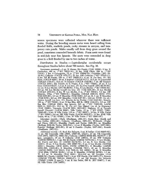
Distribution in <strong>Sinaloa</strong>. — Leptodactylus occidentals occurs<br />
throughout <strong>Sinaloa</strong> below about 700 meters. See Fig. 16.<br />
Specimens examined.—1 mi. N Ahome, Rio Fuerte {UAZ 10896); 8 km. N<br />
Carrizalejo, 460 m. (*KU 78033-34); 16 km. NNE Choix, 520 m. (*KU<br />
73819); 1 km. S Concepci6n, 75 m. (*KU 63664-74); Coyotitan (JFC 62:<br />
18-26); Culiacan (CSCLB 1572-77); 51 km. SSE Culiacan (° KU 37810-11);<br />
6 km. NE El Puerto, 150 m. ("KU 78029-31); 6 mi. N (by hwy. 15) Rio<br />
Elota (CSCLB 6220); 10 mi. S Espinal (CSCLB 6771); 12.5 mi. N Guamuchil<br />
(CSCLB 1738-47); 19.2 mi. N Guasave (CSCLB 1748-50); 7 mi. SE Guasave<br />
(CSCLB 1584); Isla Palmito de la Virgen, 5 m. (°KU 73820); 10 mi. E La<br />
Cruz (CSCLB 6219); 1.3 mi. S (on hwy. 15) La Cruz turn<strong>of</strong>f (JFC 62:30-38);<br />
3.1 mi. N Los Mochis (JFC 62:59-69); 5 km. N Los Mochis (° KU 73830-34);<br />
0.5 mi. NE Los Mochis turn<strong>of</strong>f [on hwy. 15] (UAZ 8161-66); E Los Mochis<br />
(CSCLB 1579-83); 6 km. W Los Mochis, 2 m. ('KU 78032); 7.3 km. SW<br />
Matatan, 155m. ("KU 78259-61); Mazatlan (CSCLB 1590-93; SDSC 1773;<br />
UAZ 8153-60); 3.3 mi. N Mazatlan (UAZ 8169); 2.3 mi. E, 1 mi. N Mazatlan<br />
(UAZ 8170); 2.6 mi. NW Mazatlan (UAZ 8167-68); 14.2 mi. WNW (by rd.)<br />
Pericos turn<strong>of</strong>f (on hwy. 15), Rancho de los Focitos (UAZ 8125-52); Rosario,<br />
150 m. (° KU 73822); 4 mi. N San Bias, 400 ft. (JRM 1112-18); 3.6 mi. SW<br />
San Bias (CSCLB 1585); San Ignacio, 215 m. ('KU 73823-29; LACM<br />
6208-14, 6216-18); 10.2 mi. W (by rd.) San Miguel (on rd. to Higueras)<br />
(UAZ 10902); Teacapan (LACM 6221, 6223-26); Highway 15 at Tecuala<br />
turn<strong>of</strong>f [Nayarit] (LACM 6222); Villa Union, 15 m. ("KU 67957, 73821,<br />
78263-66); 8 km. N Villa Uni6n, 135 m. ('KU 80687); 10 km. N Villa Union<br />
(• KU 78262); 8.4 mi. NE Villa Union (LACM 6205-07); 13 km. ENE Villa<br />
Uni6n, 60 m. ("KU 67956); 3 km. W Villa Union (*KU 29901-07),<br />
Literature records.—Chele (Duellman, 1961:33); Costa Rica (Smith <strong>and</strong><br />
Van Gelder, 1955:145); Culiacan (Duellman, 1961:33); El Dorado (Fugler<br />
<strong>and</strong> Dixon, 1961:8); Mazatlan (Smith <strong>and</strong> Taylor, 1948:56): nr. Mazatlan<br />
(Kellogg, 1932:89; Taylor, 1938:514); 1-2 mi. E Mazatlan (Taylor, 1937:349);<br />
Presidio (Kellogg, 1932:89); 10 mi. S Presidio (Taylor, 1937:349); Rosario<br />
(Duellman, 1961:33).<br />
Additional records.—N. Bank Rio Baluarte, 3 mi. N bridge (CAS 99265-85);<br />
11 mi. NE Concordia (SM 10095, 10287-88, 12113); 12 mi. NE Concordia<br />
(SM 10071,10073-79,10081-84)' Culiacan (AMNH 58382-102, 64176-77 + 27<br />
spec, untagged); 10 mi. N Culiacan (FAS 10073); 19 mi. NW Culiacan<br />
{AMNH 68050-51); 1 mi. NE El Fuerte (FMNH 71374-441); N Los Mochis,<br />
Rio Fuerte <strong>and</strong> hwy. 15 (AMNH 64174-75); 3.3 mi. N. Los Mochis (UF<br />
12863); 15 mi. N Los Mochis (SM 10667-72); 6 mi. S Los Mochis (SDSNH<br />
19891); Mazatlan (MCZ 44301; USNM 147966-79); N Mazatlan (AMNH<br />
12591-600, 13235-46); E Mazatlan (UIMNH 7801); 22 mi, N Mazatlan<br />
(AMNH 68052; CAS 99412; FAS 7808-11; SM 10094); 36 mi. N Mazatlan<br />
(FAS 9594; UIMNH 38159); 1-2 mi. E Mazatlan (UIMNH 29700); 1.3 mi.<br />
W, 2,5 mi. N. Mazatlan (FAS 9049); 10.2-10.8 mi. SE Navolato (CAS<br />
99660-79); Piaxtla (AMNH 71417); 9 mi. NW Piaxda (SM 10673-77); Rosario<br />
(UIMNH 7791-96, 7802-04, 62645-47); 11 mi. NE Rosario, Rio Baluarte<br />
(UMMZ 113062 [2 spec.]); 3 mi. E San Pedro, 550 ft. (KU 93467); 3 mi.<br />
SE Villa Union (SM 10878).