Route 132 Corridor Report - Cape Cod Commission
Route 132 Corridor Report - Cape Cod Commission
Route 132 Corridor Report - Cape Cod Commission

You also want an ePaper? Increase the reach of your titles
YUMPU automatically turns print PDFs into web optimized ePapers that Google loves.
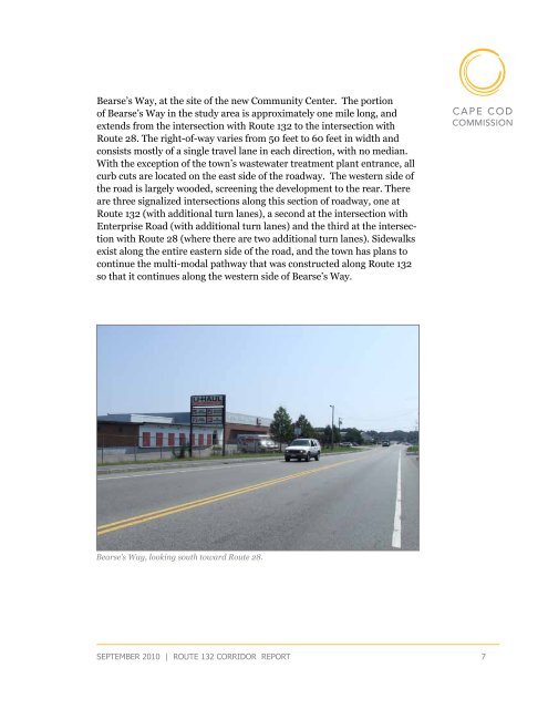
Bearse’s Way, at the site of the new Community Center. The portion<br />
of Bearse’s Way in the study area is approximately one mile long, and<br />
extends from the intersection with <strong>Route</strong> <strong>132</strong> to the intersection with<br />
<strong>Route</strong> 28. The right-of-way varies from 50 feet to 60 feet in width and<br />
consists mostly of a single travel lane in each direction, with no median.<br />
With the exception of the town’s wastewater treatment plant entrance, all<br />
curb cuts are located on the east side of the roadway. The western side of<br />
the road is largely wooded, screening the development to the rear. There<br />
are three signalized intersections along this section of roadway, one at<br />
<strong>Route</strong> <strong>132</strong> (with additional turn lanes), a second at the intersection with<br />
Enterprise Road (with additional turn lanes) and the third at the intersection<br />
with <strong>Route</strong> 28 (where there are two additional turn lanes). Sidewalks<br />
exist along the entire eastern side of the road, and the town has plans to<br />
continue the multi-modal pathway that was constructed along <strong>Route</strong> <strong>132</strong><br />
so that it continues along the western side of Bearse’s Way.<br />
Bearse’s Way, looking south toward <strong>Route</strong> 28.<br />
september 2010 | route <strong>132</strong> corridor <strong>Report</strong> 7