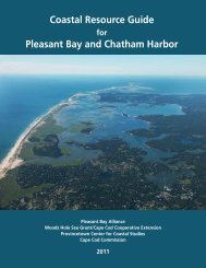
Route 132 Corridor Report - Cape Cod Commission
Route 132 Corridor Report - Cape Cod Commission
Route 132 Corridor Report - Cape Cod Commission

You also want an ePaper? Increase the reach of your titles
YUMPU automatically turns print PDFs into web optimized ePapers that Google loves.
currently defined by a mix of buildings that are not oriented to street. Any<br />
redevelopment in this area should require the buildings to be of a pedestrian<br />
scale and located close to the street, separated only by landscaping<br />
or pedestrian areas, with parking to the side away from the intersection.<br />
See Design Guidelines for Area D included in Section 8 of this report.<br />
Issue 12: Water Resource Protection Concerns<br />
Most of the study area is located within the town’s water protection<br />
district, except for the properties adjacent to the <strong>Route</strong> 28/Bearse’s Way<br />
intersection. There are many non-conforming uses located within this<br />
district, including numerous auto service uses that may be a threat to<br />
water quality.<br />
Opportunity 12A: Provide Incentives to Relocate Non-<br />
Conforming Uses<br />
Explore incentives to facilitate relocation of auto-uses on <strong>Route</strong> <strong>132</strong> to<br />
Bearse’s Way, in areas outside the Water Protection District.<br />
30<br />
september 2010 | route <strong>132</strong> corridor <strong>Report</strong>