Vegetation of Southeast Asia Studies of Forest Types 1963-1965
Vegetation of Southeast Asia Studies of Forest Types 1963-1965
Vegetation of Southeast Asia Studies of Forest Types 1963-1965
You also want an ePaper? Increase the reach of your titles
YUMPU automatically turns print PDFs into web optimized ePapers that Google loves.
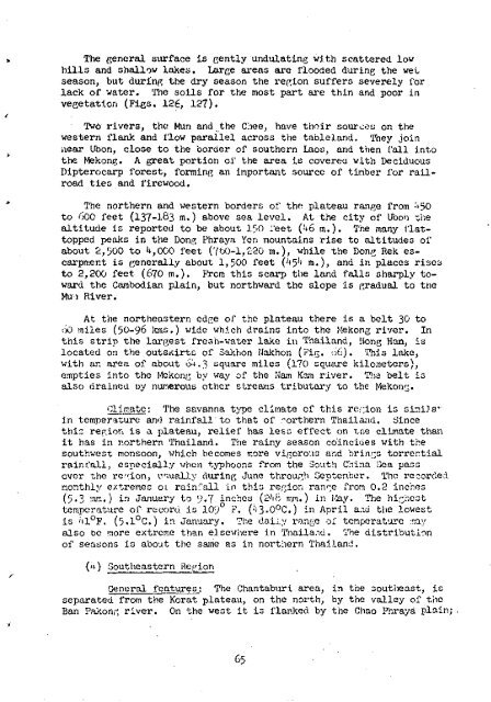
The general surface is gently undulating with scattered low<br />
hills and shallow lakes. Large areas are flooded during the wet<br />
season, but during the dry season the region suffers severely for<br />
lack <strong>of</strong> water. The soils for the most part are thin and poor in<br />
vegetation (Figs. 126, 12).<br />
Two rivers, the Mun and,the Cliee, have thoir sources on the<br />
western flank and flow parallel across the tableland. They join<br />
near Ubon, close to the border <strong>of</strong> southern Laos, and then fall into<br />
the Mekong. A great portion <strong>of</strong> the area is covered with Deciduous<br />
Dipterocarp forest, forming an important source <strong>of</strong> timber for railroad<br />
ties and firewood.<br />
The northern and western borders <strong>of</strong> the plateau range from ^50<br />
to 600 feet (137-183 m.) above sea level. At the city <strong>of</strong> Ubon the<br />
altitude is reported to be about 150 feet ( J *6 m.). The many flattopped<br />
peaks in the Dong Phraya Yen mountains rise to altitudes <strong>of</strong><br />
about £,500 to ^,000 feet (760-1,220 m.), while the Dong Rek escarpment<br />
is generally about 1,500 feet (^5't ra.), and in places rises<br />
to 2,200 feet (670 m.). From this scarp the land falls sharply toward<br />
the Cambodian plain, but northward the slope is gradual to the<br />
Mu-i River.<br />
At the northeastern edge <strong>of</strong> the plateau there is a belt 30 to<br />
iiO miles (50-96 kms.) wide which drains into the Mekong river. In<br />
this strip the largest fresh-water lake in Thailand, Hong Han, is<br />
located on the outsKirte <strong>of</strong> Sakhon Nakhon (Fig. 66). This lake,<br />
with an area <strong>of</strong> about 64.3 square miles (lo square kilometers),<br />
empties into the Mekong by way <strong>of</strong> the Nam Kam river. The belt is<br />
also drained oy numerous other streams tributary to the Mekong.<br />
CljjTiate: The savanna type climate <strong>of</strong> this region is siir.iJa^<br />
in temperature and rainfall'to that <strong>of</strong> northern Thailand. Since<br />
this region is a plateau, relief has less effect on t,ne climate than<br />
it has in northern Thailand. The rainy season coincides with the<br />
southwest monsoon, which becomes more vigorous and brings torrential<br />
rainfall, especially when typhoons from the South China Sea pass<br />
over the region, usually during June through September. The recorded<br />
monthly extremes 01 rainfall in this region range from 0.2 inches<br />
(5.3 :nm.) in January to 9«7 inches (2'ih mm.) in toy. The highest<br />
temperature <strong>of</strong> record is 109° F. ('J3.0°C.) in April aau the lowest<br />
is 'tl°F. (5«1°C.) in January. The dally range <strong>of</strong> temperature :nay<br />
also be more extreme than elsewhere in Thailand. The distribution<br />
<strong>of</strong> seasons is about the same as in northern Thailand.<br />
('•) <strong>Southeast</strong>ern Region<br />
General features; The Chantaburi area, in the southeast, is<br />
separated from the Korat plateau, on the north, by the valley <strong>of</strong> the<br />
Ban Pakong river. On the west it is flanked, by the Chao Phraya plain;


