The Padiham Heritage Appraisal - Burnley Borough Council
The Padiham Heritage Appraisal - Burnley Borough Council
The Padiham Heritage Appraisal - Burnley Borough Council
- No tags were found...
You also want an ePaper? Increase the reach of your titles
YUMPU automatically turns print PDFs into web optimized ePapers that Google loves.
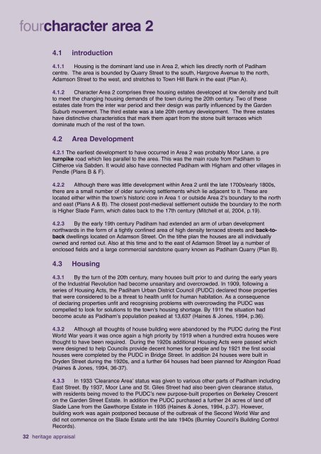
fourcharacter area 24.1 introduction4.1.1 Housing is the dominant land use in Area 2, which lies directly north of <strong>Padiham</strong>centre. <strong>The</strong> area is bounded by Quarry Street to the south, Hargrove Avenue to the north,Adamson Street to the west, and stretches to Town Hill Bank in the east (Plan A).4.1.2 Character Area 2 comprises three housing estates developed at low density and builtto meet the changing housing demands of the town during the 20th century. Two of theseestates date from the inter war period and their design was partly influenced by the GardenSuburb movement. <strong>The</strong> third estate was a late 20th century development. <strong>The</strong> three estateshave distinctive characteristics that mark them apart from the stone built terraces whichdominate much of the rest of the town.4.2 Area Development4.2.1 <strong>The</strong> earliest development to have occurred in Area 2 was probably Moor Lane, a preturnpike road which lies parallel to the area. This was the main route from <strong>Padiham</strong> toClitheroe via Sabden. It would also have connected <strong>Padiham</strong> with Higham and other villages inPendle (Plans B & F).4.2.2 Although there was little development within Area 2 until the late 1700s/early 1800s,there are a small number of older surviving settlements which lie adjacent to it. <strong>The</strong>se arelocated either within the town’s historic core in Area 1 or outside Area 2’s boundary to the northand east (Plans A & B). <strong>The</strong> closest post-medieval settlement outside the boundary to the northis Higher Slade Farm, which dates back to the 17th century (Mitchell et al, 2004, p.19).4.2.3 By the early 19th century <strong>Padiham</strong> had extended an arm of urban developmentnorthwards in the form of a tightly confined area of high density terraced streets and back-tobackdwellings located on Adamson Street. On the tithe plan the houses are all individuallyowned and rented out. Also at this time and to the east of Adamson Street lay a number ofenclosed fields and a large commercial sandstone quarry known as <strong>Padiham</strong> Quarry (Plan B).4.3 Housing32 heritage appraisal4.3.1 By the turn of the 20th century, many houses built prior to and during the early yearsof the Industrial Revolution had become unsanitary and overcrowded. In 1909, following aseries of Housing Acts, the <strong>Padiham</strong> Urban District <strong>Council</strong> (PUDC) declared those propertiesthat were considered to be a threat to health unfit for human habitation. As a consequenceof declaring properties unfit and recognising problems with overcrowding the PUDC wascompelled to look for solutions to the town’s housing shortage. By 1911 the situation hadbecome acute as <strong>Padiham</strong>’s population peaked at 13,637 (Haines & Jones, 1994, p.36).4.3.2 Although all thoughts of house building were abandoned by the PUDC during the FirstWorld War years it was once again a high priority by 1919 when a hundred extra houses werethought to have been required. During the 1920s additional Housing Acts were passed whichwere designed to help <strong>Council</strong>s provide decent homes for people and by 1921 the first socialhouses were completed by the PUDC in Bridge Street. In addition 24 houses were built inDryden Street during the 1920s, and a further 64 houses had been planned for Abingdon Road(Haines & Jones, 1994, 36-37).4.3.3 In 1933 ‘Clearance Area’ status was given to various other parts of <strong>Padiham</strong> includingEast Street. By 1937, Moor Lane and St. Giles Street had also been given clearance status,with residents being moved to the PUDC’s new purpose-built properties on Berkeley Crescenton the Garden Street Estate. In addition the PUDC purchased a further 24 acres of land offSlade Lane from the Gawthorpe Estate in 1935 (Haines & Jones, 1994, p.37). However,building work was again postponed because of the outbreak of the Second World War anddid not commence on the Slade Estate until the late 1940s (<strong>Burnley</strong> <strong>Council</strong>’s Building ControlRecords).


