Tikchik village: a nineteenth century riverine community in ... - Cluster
Tikchik village: a nineteenth century riverine community in ... - Cluster
Tikchik village: a nineteenth century riverine community in ... - Cluster
- No tags were found...

Create successful ePaper yourself
Turn your PDF publications into a flip-book with our unique Google optimized e-Paper software.
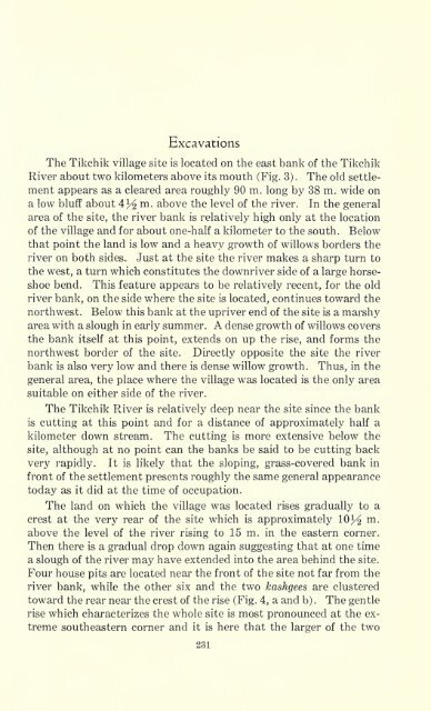
ExcavationsThe <strong>Tikchik</strong> <strong>village</strong> site is located on the east bank of the <strong>Tikchik</strong>River about two kilometers above its mouth (Fig. 3). The old settlementappears as a cleared area roughly 90 m. long by 38 m. wide ona low bluff about 4^/^ m. above the level of the river. In the generalarea of the site, the river bank is relatively high only at the locationof the <strong>village</strong> and for about one-half a kilometer to the south. Belowthat po<strong>in</strong>t the land is low and a heavy growth of willows borders theriver on both sides.Just at the site the river makes a sharp turn tothe west, a turn which constitutes the downriver side of a large horseshoebend.This feature appears to be relatively recent, for the oldriver bank, on the side where the site is located, cont<strong>in</strong>ues toward thenorthwest. Below this bank at the upriver end of the site is a marshyarea with a slough <strong>in</strong> early summer. A dense growth of willows coversthe bank itself at this po<strong>in</strong>t, extends on up the rise, and forms thenorthwest border of the site. Directly opposite the site the riverbank is also very low and there is dense willow growth. Thus, <strong>in</strong> thegeneral area, the place where the <strong>village</strong> was located is the only areasuitable on either side of the river.The <strong>Tikchik</strong> River is relatively deep near the site s<strong>in</strong>ce the bankis cutt<strong>in</strong>g at this po<strong>in</strong>t and for a distance of approximately half akilometer down stream. The cutt<strong>in</strong>g is more extensive below thesite, although at no po<strong>in</strong>t can the banks be said to be cutt<strong>in</strong>g backvery rapidly. It is likely that the slop<strong>in</strong>g, grass-covered bank <strong>in</strong>front of the settlement presents roughly the same general appearancetoday as it did at the time of occupation.The land on which the <strong>village</strong> was located rises gradually to acrest at the very rear of the site which is approximately 10 3/^ m,above the level of the river ris<strong>in</strong>g to 15 m. <strong>in</strong> the eastern corner.Then there is a gradual drop down aga<strong>in</strong> suggest<strong>in</strong>g that at one timea slough of the river may have extended <strong>in</strong>to the area beh<strong>in</strong>d the site.Four house pits are located near the front of the site not far from theriver bank, while the other six and the two kashgees are clusteredtoward the rear near the crest of the rise (Fig. 4, a and b). The gentlerise which characterizes the whole site is most pronounced at the extremesoutheastern corner and it is here that the larger of the two231


![La musa galante [microform] - University Library](https://img.yumpu.com/50760818/1/190x222/la-musa-galante-microform-university-library.jpg?quality=85)