


You also want an ePaper? Increase the reach of your titles
YUMPU automatically turns print PDFs into web optimized ePapers that Google loves.
GENERAL<br />
INFORMATION<br />
GENERAL INFORMATION<br />
STATE AUTHORITY<br />
ECONOMY<br />
CULTURE<br />
SPORTS<br />
ADDRESSES<br />
CROATIAN SPECIALTIES<br />
Paklenica National Park In 1978, Mount Velebit received international recognition when it was included<br />
in the UNESCO’s Man and the Biosphere network. The national park is located on the south side of Mount<br />
Velebit, under its highest peak, Vaganski Peak (1758 m). It is located in the Zadar district and its administrative<br />
seat is Starigrad Paklenica. Due to its natural beauty, karst phenomena and animal and plant life, Paklenica was<br />
declared a national park (covering 3617 ha), which includes the courses of the Velika Paklenica and Mala<br />
Paklenica rivers, surrounded by the highest peaks of the southern side of Velebit and their ravines descending<br />
to the sea in the area of Starigrad and Selina.<br />
The geomorphological region consists of a long valley (8.5 km.) which follows the main crag of Mount Velebit,<br />
and two shorter canyons (4 to 5 km) of the Velika Paklenica and Mala Paklenica, which carve through the<br />
mountain. Tectonic shifts and the erosive effects of torrents have formed magnificent ravines with steep cliffs<br />
up to 400 meters high. The most impressive cliff, AniÊa kuk, is a haven for mountaineering. The greatest treasure<br />
of the Paklenica karst is the natural beauty of the many caves and caverns (Manita peÊ, Jama vodarica,<br />
etc.). The fauna of Paklenica National Park is very diverse: brown bears, wolves, martens, wildcats, golden<br />
eagles, griffin vulture, owls, falcons and ravens. The Adriatic side of Paklenica is marked by a cool, Mediterranean<br />
climate, while the interior is more continental, with alpine climes at higher elevations.<br />
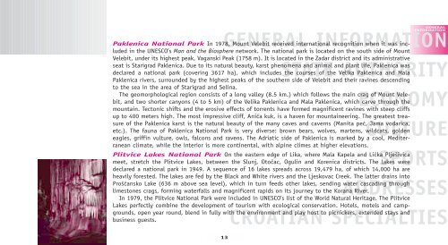
Plitvice Lakes National Park On the eastern edge of Lika, where Mala Kapela and LiËka Pljeπivica<br />
meet, stretch the Plitvice Lakes, between the Slunj, OtoËac, Ogulin and Korenica districts. The lakes were<br />
declared a national park in 1949. A sequence of 16 lakes spreads across 19,479 ha, of which 14,000 ha are<br />
heavily forested. The lakes are fed by the Black and White rivers and the Ljeskovac Creek. The latter drains into<br />
ProπÊansko Lake (636 m above sea level), which in turn feeds other lakes, sending water cascading through<br />
limestones crags, forming waterfalls and magnificent rapids on its journey to the Korana River.<br />
In 1979, the Plitvice National Park were included in UNESCO’s list of the World Natural Heritage. The Plitvice<br />
Lakes perfectly combine the development of tourism with ecological conservation. Hotels, motels and campgrounds,<br />
open year round, blend in fully with the environment and play host to picnickers, extended stays and<br />
business guests.<br />
13