


You also want an ePaper? Increase the reach of your titles
YUMPU automatically turns print PDFs into web optimized ePapers that Google loves.
THE REPUBLIC OF CROATIA • 2003<br />
GENERAL INFORMATION<br />
GENERAL INFORMATION<br />
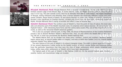
Risnjak National Park Risnjak National Park is located in Gorski Kotar, 15 km. from Delnice, on the<br />
farthest western edge of the Dinaric Alps. It shares Delnice, »abar and Rijeka districts, with its administrative<br />
seat in Crni Lug. The park spreads across 3014 ha at altitudes from 680 to 1528 meters. The higher elevations<br />
of Risnjak, mainly limestone and dolomite, form a barrier between the drastically different coastal and continental<br />
climates. Dense forests of beech, fir and spruce flourish on either side. Mainly of scientific importance,<br />
Risnjak is also significant to Croatian tourism. Located only 15 km from the main road, connecting Zagreb and<br />
Rijeka, Risnjak National Park is easily accessible and offers a view of Kvarner Bay.<br />
Velebit National Park The northern area of Velebit is, from the point of view of nature, the most valuable<br />
and attractive part of the Velebit mountain zone. It comprises strict nature reserves - Roæanski Kukovi and<br />
HajduËki Kukovi - with interesting Karst forms and the Lukina Jama (Luka’s Pit), one of the deepest pits in the<br />
world, as well as the renowned Velebit botanical gardens.<br />
This is also our youngest national park. In May 1999, the House of Representatives of the Croatian Parliament<br />
passed a law to declare Northern Velebit a National Park. Thus, an area within the Velebit Nature Park covering<br />
109 km2 in total was proclaimed the Northern Velebit National Park.<br />
The Velebit Nature Park can be divided into three parts: northern, central and southern. Northern Velebit<br />
begins above Senj, at Vratnik Saddle (698 m in height), and ends at Veliki Alan Saddle (1412 m). Vratnik Saddle<br />
separates Velebit from Velika Kapela.<br />
The main feature of this part of Velebit is its almost triangular shape. The width is almost equal to its length.<br />
It has several depressions (called dulibe by the Velebit locals), of which Lomska Duliba and Krasanska Duliba<br />
have the particular importance that they were the sites of larger settlements which remain inhabited even<br />
today, unlike many other settlements on Velebit which have been depopulated.<br />
The highest peak of this part of Velebit is Mali Rajinac (1699 m). On the second highest peak, Zaviæan, a<br />
weather station and mountaineer lodge are located.<br />
STATE AUTHORITY<br />
ECONOMY<br />
CULTURE<br />
SPORTS<br />
ADDRESSES<br />
CROATIAN SPECIALTIES