Replies to Questions from Finance Committee Members
Replies to Questions from Finance Committee Members
Replies to Questions from Finance Committee Members
You also want an ePaper? Increase the reach of your titles
YUMPU automatically turns print PDFs into web optimized ePapers that Google loves.
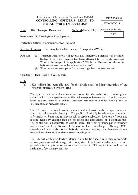
Examination of Estimates of Expenditure 2003-04<br />
CONTROLLING OFFICER’S REPLY TO<br />
INITIAL WRITTEN QUESTION<br />
Head : 186 – Transport Department Subhead (No. & title) :<br />
Programme : (1) Planning and Development<br />
Controlling Officer : Commissioner for Transport<br />
Direc<strong>to</strong>r of Bureau : Secretary for the Environment, Transport and Works<br />
Question : (a) Transport Department will develop and implement a Transport Information<br />
System. How much funding has been allocated for its implementation?<br />
What is the scope of its application? Would the System provide traffic<br />
information services <strong>to</strong> the public and <strong>to</strong>urists?<br />
(b) What are the concrete plans for introducing a harbour <strong>to</strong>ur service?<br />
Asked by : Hon. LAU Kin-yee, Miriam<br />
Reply Serial No.<br />
ETWB(T)038<br />
Question Serial No.<br />
0809<br />
Reply :<br />
(a) $63.6 million has been allocated for the development and implementation of the<br />
Transport Information System (TIS).<br />
The system is a centralised data warehouse for the collection, processing and<br />
dissemination of comprehensive traffic and transport information. It will have two<br />
main outputs, namely, a Public Transport Information Service (PTIS) and an<br />
Intelligent Road Network (IRN).<br />
The PTIS will be available on the Internet, and will assist public transport users and<br />
<strong>to</strong>urists <strong>to</strong> make pre-trip planning. The public will initially be able <strong>to</strong> access transport<br />
information on buses and railways, such as service schedules, locations of s<strong>to</strong>ps and<br />
routing details by clicking their set off points and destinations on a digitised map.<br />
The public will subsequently be able <strong>to</strong> search for their optimum public transport<br />
routes based on least distance, lease cost or least interchange. Through PTIS,<br />
mo<strong>to</strong>rists will also be able <strong>to</strong> search for their optimum driving routes based on options<br />
such as least distance or minimum tunnel or bridge <strong>to</strong>ll.<br />
The IRN will contain up-<strong>to</strong>-date information on traffic directions, turning movements<br />
at road junctions and s<strong>to</strong>pping restrictions, etc. It will enable value-added service<br />
providers in the private sec<strong>to</strong>r <strong>to</strong> develop specific ITS applications such as car<br />
navigation, fleet management, etc.


