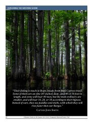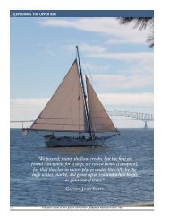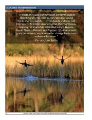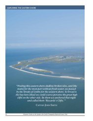
Draft Interpretive Plan Join the adventure! - Captain John Smith ...
Draft Interpretive Plan Join the adventure! - Captain John Smith ...
Draft Interpretive Plan Join the adventure! - Captain John Smith ...

Create successful ePaper yourself
Turn your PDF publications into a flip-book with our unique Google optimized e-Paper software.
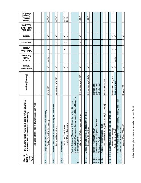
Interpretation<br />
Potential<br />
Public or<br />
Private<br />
Ownership<br />
Public Boat<br />
Access<br />
Restrooms<br />
Parking<br />
NPS site,<br />
NHL, Nat'l<br />
Reg., FWS<br />
Overlaps<br />
Existing/<br />
Proposed<br />
WaterTrails<br />
Map ID<br />
Number<br />
(Stop<br />
Date)<br />
Stop Name (blue rows) and Nearby Public Lands /<br />
Potential Trail Resources (white rows)<br />
Elk Neck State Park is downstream; see 7:30.1<br />
Location (County)<br />
8.8:1 Village of Ozinies, Swan Point, Rock Hall Bay<br />
Spring Cove Public Landing Kent, MD public SSBT<br />
8.9:1 Cleared Love Point at <strong>the</strong> nor<strong>the</strong>rn tip of Kent Island<br />
Terrapin Nature Park Queen Anne's, MD SSBT<br />
8.9:2 Point Patience<br />
Solomons Boat Ramp SSBT<br />
Calvert Marine Museum SSBT<br />
8.11:1<br />
On <strong>the</strong> Patuxent (Pawtuxent) River, to <strong>the</strong> tip of today's<br />
Merkle Wildlife Management Area, south of Kings Branch on<br />
<strong>the</strong> eastern shore<br />
Merkle Wildlife Management Area Prince George's, MD SSBT<br />
8.11:2 Village of Mattpanient (Mattpament on map)<br />
Patuxent River Park Prince George's MD SSBT<br />
8.12:1 village of Acquintanacsuck private land<br />
8.12:2 <strong>the</strong> eastern-bank village of Opanient private land<br />
8.13:1 St. Jerome Creek private land<br />
8.14? mouth of Rappahannock River<br />
near Windmill Point [which county?? Check] Gloucester Cnty<br />
8.15-16:1 Moraughtacund village on <strong>the</strong> Rappahannock<br />
Simonson Landing Richmond Cnty, VA <br />
Belle Isle State Park Lancaster, VA public <br />
8.17:1<br />
<strong>the</strong> north shore of <strong>the</strong> Rappahannock, possibly neaer <strong>the</strong><br />
mouth of Piscataway Creek<br />
Wares Wharf (Waves?) Essex, VA <br />
* Italics indicates place name as recorded by <strong>John</strong> <strong>Smith</strong><br />
112<br />
APPENDIX C: TRAIL RELATED RESOURCES