Draft EA - San Diego International Airport
Draft EA - San Diego International Airport
Draft EA - San Diego International Airport

Create successful ePaper yourself
Turn your PDF publications into a flip-book with our unique Google optimized e-Paper software.
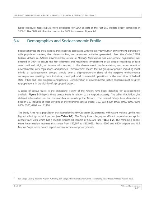
SAN DIEGO INTERNATIONAL AIRPORT – PROPOSED RUNWAY 9 DISPLACED THRESHOLD<br />
Noise exposure maps (NEMs) were developed for SDIA as part of the Part 150 Update Study completed in<br />
2009. 14 The CNEL 65 dB noise contour for 2009 is shown on Figure 3-2.<br />
3.4 Demographics and Socioeconomic Profile<br />
Socioeconomics are the activities and resources associated with the everyday human environment, particularly<br />
with population centers, their demographics, and economic activities generated. Executive Order 12898,<br />
Federal Actions to Address Environmental Justice in Minority Populations and Low-Income Populations, was<br />
enacted in 1994 to ensure the fair treatment and meaningful involvement of all people regardless of race,<br />
color, national origin, or income with respect to the development, implementation, and enforcement of<br />
environmental laws, regulations, and policies. Fair treatment means that no groups of people, including racial,<br />
ethnic, or socioeconomic groups, should bear a disproportionate share of the negative environmental<br />
consequences resulting from industrial, municipal, and commercial operations or the execution of federal,<br />
state, tribal, and local programs and policies. Consideration of environmental justice concerns must be given<br />
to populations in the vicinity of a proposed project.<br />
A series of census tracts in the immediate vicinity of the <strong>Airport</strong> have been identified for socioeconomic<br />
analysis. Figure 3-3 depicts these census tracts in relation to the <strong>Airport</strong> property. The tables that follow give<br />
detailed information on the communities surrounding the <strong>Airport</strong>. The indirect Study Area described in<br />
Section 3.1, includes at least portions of the following census tracts: 100, 202, 5800, 5900, 6000, 6100, 6200,<br />
6300, 6500, 6900, and 21400.<br />
The Study Area has a population that is predominantly Caucasian (82 percent), with Asians making up the next<br />
highest ethnic group at 4 percent (see Table 3-1). The Study Area is largely an affluent population, except for<br />
census tract 6500 which has a median household income of $32,721 (see Table 3-2). The remaining census<br />
tracts have median incomes that range from $52,107 to $112,065. Tracts 6200 and 6300, <strong>Airport</strong> and U.S.<br />
Marine Corps lands, do not report median incomes or poverty levels.<br />
14<br />
<strong>San</strong> <strong>Diego</strong> County Regional <strong>Airport</strong> Authority, <strong>San</strong> <strong>Diego</strong> <strong>International</strong> <strong>Airport</strong>, Part 150 Update, Noise Exposure Maps, August 2009.<br />
<strong>Draft</strong> <strong>EA</strong><br />
Affected Environment<br />
[3-11]