Strategic Flood Risk Assessment - South Worcestershire ...
Strategic Flood Risk Assessment - South Worcestershire ...
Strategic Flood Risk Assessment - South Worcestershire ...
Create successful ePaper yourself
Turn your PDF publications into a flip-book with our unique Google optimized e-Paper software.
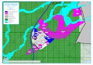
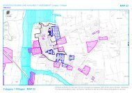
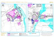
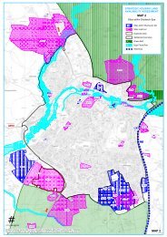
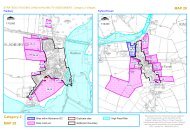
9 Recommended policy for management of floodrisk9.1 Recommended PolicyThe following Policy is recommended to cover the management of flood risk within the <strong>South</strong><strong>Worcestershire</strong> area. This policy is to go alongside the blue, yellow and red subdivisions of<strong>Flood</strong> Zone 3. These maps can be found in Appendix E. Below is the suggested wording:9.1.1 Management of <strong>Flood</strong> <strong>Risk</strong>1. [“Blue Zone”]The blue zone is functional floodplain and development will not normally be permitted here.2. [“Yellow Zone”]Redevelopment of existing sites within the floodplain in areas not subject to significant floodflows [as defined by the Environment Agency], shown as “yellow zone” on the proposals map,will normally be permitted provided:it is for less vulnerable or water compatible use (as defined in Table 2 of NPPF TechnicalGuidance);ground floor levels of all buildings are set above the 1 in 100-year flood level including anallowance for climate change, with an appropriate freeboard to be agreed with the LPAand Environment Agency, and should be flood free during an extreme flood event;safe access is available for the lifetime of the development and is supported by floodwarning and suitable evacuation plans being in place;car parking is designed to have regard to potential flood depths and hazards andmitigation measures are put in place. (No basement car parking shall be permitted);there is no detriment to the available flood storage capacity of the floodplain andadditional flood storage is created; andunnecessary obstructions to flood flow are removed, restoring flood flow pathways.3. Fl [“Red Zone”]New development (including extensions) and redevelopment will not normally be permitted inareas of existing or previously existing floodplain flow [as defined by the Environment Agency]shown as “red zone”, or within 8 metres of the top of both banks of other watercourses, asshown on the proposals map. Where options for managed retreat or land swap exist, developersshould explore these with the Local Authority.9.1.2 Development and <strong>Flood</strong> <strong>Risk</strong>All development must adhere to the advice in the <strong>South</strong> <strong>Worcestershire</strong> <strong>Strategic</strong> <strong>Flood</strong> <strong>Risk</strong><strong>Assessment</strong> Update and the guidance provided on <strong>Flood</strong> <strong>Risk</strong> <strong>Assessment</strong> requirements inorder to:protect floodplains from inappropriate development;ensure no increase in flood risk;where possible provide flood risk betterment; andensure development is safe.2012s5947 S <strong>Worcestershire</strong> Level 2 SFRA Update FINAL Report v1.0.doc 182


