Technology Status Report: In Situ Flushing - CLU-IN
Technology Status Report: In Situ Flushing - CLU-IN
Technology Status Report: In Situ Flushing - CLU-IN
Create successful ePaper yourself
Turn your PDF publications into a flip-book with our unique Google optimized e-Paper software.
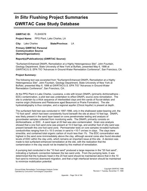
<strong>In</strong> <strong>Situ</strong> <strong>Flushing</strong> Project Summaries<br />
GWRTAC Case Study Database<br />
GWRTAC ID: FLSH0078<br />
Project Name: PPG Plant, Lake Charles, LA<br />
City: Lake Charles State/Province: LA<br />
Primary GWRTAC Personal<br />
Communication Source<br />
(Name/Organization):<br />
<strong>Report</strong>(s)/Publication(s) (GWRTAC Source):<br />
"Surfactant-Enhanced DNAPL Remediation at a Highly Heterogeneous Site", John Fountain,<br />
Geology Department, State University of New York at Buffalo, presented May 6, 1998 at<br />
GWRTAC/U.S. EPA TIO "Advances in Ground-Water Remedation Conference", San Francisco, CA<br />
Project Summary:<br />
The following text was excerpted from "Surfactant-Enhanced DNAPL Remediation at a Highly<br />
Heterogeneous Site", John Fountain, Geology Department, State University of New York at<br />
Buffalo, presented May 6, 1998 at GWRTAC/U.S. EPA TIO "Advances in Ground-Water<br />
Remedation Conference", San Francisco, CA:<br />
At the PPG Plant in Lake Charles, Louisiana, a site with known DNAPL (primarily dichloroethane -<br />
EDC) contamination, a pilot test was undertaken to effect DNAPL source zone remediation. The<br />
site is underlain by a thick sequence of interbedded clays and thin sands of fluvial-deltaic and<br />
marine origin (Holocene and Pleistocene aged Beaumont or Prarie Formation). The site<br />
hydrostratigraphy is thus complex, and a regional aquifer (Chicot Aquifer) is present at depth.<br />
The surfactant field test was conducted in 1997-1998, only in the shallowest water-bearing unit, the<br />
"10 foot sand", which had been consistently found beneath the site at about 10 feet bgs. DNAPL<br />
was likely present in the sand layer based on cone penetrometer testing and analysis of<br />
groundwater samples collected from monitoring wells. The DNAPL primarily consists on<br />
dichloroethane, or EDC. A sand layer at 20 feet was also contaminated. Grain size analysis<br />
showed that a one foot sand zone was present at 10.5 feet bgs, and another foot of silty sand was<br />
present beneath this one foot sand zone. Permeameter tests on core samples revealed hydraulic<br />
conductivities ranging from 6 x 10⁻³ cm/sec in sand to


