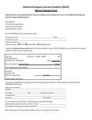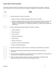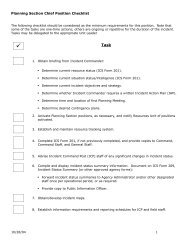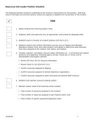
MART Vol. II MO/MP - NESA - Civil Air Patrol
MART Vol. II MO/MP - NESA - Civil Air Patrol
MART Vol. II MO/MP - NESA - Civil Air Patrol

You also want an ePaper? Increase the reach of your titles
YUMPU automatically turns print PDFs into web optimized ePapers that Google loves.
5.3 Magnetic variationVariation is the angle between true north and magnetic north. It is expressedas east variation or west variation depending upon whether magnetic north (MN)is to the east or west of true north (TN), respectively. The north magnetic pole islocated close to latitude N 71º, longitude W 96º - about 1,300 miles from thegeographic or true north pole. If the earth were uniformly magnetized, thecompass needle would point toward the magnetic pole, in which case the variationbetween true north and magnetic north could be measured at any intersection ofthe meridians.Actually, the earth is not uniformly magnetized. In the United States theneedle usually points in the general direction of the magnetic pole but it may varyin certain geographical localities by many degrees. Consequently, the NationalOcean Survey has carefully determined the exact amount of variation atthousands of selected locations in the United States. The amount and thedirection of variation, which change slightly from time to time, are shown on mostaeronautical charts as broken red lines, called isogonic lines, which connectpoints of equal magnetic variation. The line connecting points at which there is novariation between true north and magnetic north is the agonic line.5.4 <strong>Air</strong>spaceFor traffic management purposes, the FAA has designated that all airspacewithin the United States falls into one of six different class designations (A, B, C,D, E, and G). Flight within each class requires certain communication, equipment,pilot experience, and, under some circumstances, weather requirements. Specificrequirements for each class are complex, but they can be simplified somewhatwith several broad generalizations.Regardless of flight rules, the most stringent requirements normally areassociated with flight in airspace immediately surrounding a major airport, due tothe high density of operations conducted there. Observers must be alert forrequired communication when it appears a search will be conducted within 40miles of a major airport or within 5 miles of any airport having an operating controltower. These are color coded blue on sectional charts. Major airports in thiscontext are generally near major metropolitan areas and appear at or near thecenter of concentric blue-, magenta-, or gray-colored circles. Also, crew resourcemanagement and the "sterile cockpit" environment are essential in or near thesebusy airports in order to "see and avoid" obstacles and other aircraft.When operating the aircraft under VFR, in most classes of airspace the pilotcan change the direction of flight or aircraft altitude without any prior coordinationwith air traffic control. This will almost always be the case when weather allowsvisual search patterns below the bases of the clouds.5.4.1 Special Use <strong>Air</strong>spaceAlthough not a class of airspace, the FAA has designated some airspace as"special use" airspace. The FAA has specifically created special use airspace foruse by the military, although the FAA retains control. Active special use airspacecan become a navigational obstacle to search aircraft and uncontrolled objects(e.g., missiles) within the airspace can present a serious threat to the safety of71