

botswana/namibia - Cour international de Justice
botswana/namibia - Cour international de Justice
botswana/namibia - Cour international de Justice

You also want an ePaper? Increase the reach of your titles
YUMPU automatically turns print PDFs into web optimized ePapers that Google loves.
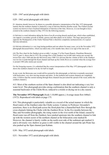
G28 - 1947 aerial photograph with labels<br />
G29 - 1962 aerial photograph with labels<br />
[9. Attention should, however, be drawn to a possible alternative interpretation of the May 1972 photograph<br />
namely that the southern channel is choked by a mat of Salvinia Molesta (Kariba weed). The Chobe/Linyanti<br />
system was known to have localised infestations of Salvinia at this time. However, it is not thought to have<br />
existed in the southern channel in May 1972 for the following reasons:-<br />
(i) Salvinia is a total infestation taking the form of an all-covering <strong>de</strong>nsely packed mat, which when established,<br />
can support a secondary growth of shrubs, grasses and other plants on its surface. The large open pool just<br />
opposite the Headquarters of the Chobe National Park is therefore completely uncharacteristic of a typical<br />
Salvinia infestation.<br />
(ii) Salvinia infestation is a very long lasting problem and can subsist for many years, yet in the November 1972<br />
photograph discussed below, which was taken only a few months later, there is no sign of the mat at all.<br />
(iii) The flow chart for the Zambezi given as table 1 on page 15 of the Expert Report, (Namibian Memorial,<br />
Vol.VI, part 1), shows that in 1972, the average flow of the Zambezi was at 640 cubic metres per second, the<br />
lowest flow since 1948 and also the 6th lowest since 1900. It is obvious that the volume of flow in the Zambezi<br />
was too low to push through the Kasai channel and back up the Chobe River as is normal when the average flow<br />
is around 1500 cubic metres per second.<br />
For the foregoing reasons, it is submitted that the correct interpretation of the May 1972 photograph is that it<br />
shows the southern channel to be dry for half its length.<br />
In any event, the Botswana case would still be assisted by this photograph, as Salvinia is normally associated<br />
with backwaters, very slow moving streams and inlets. As the northern and western channels are completely<br />
clear, it follows that the current running through these channels has prevented the spread of the weed, unlike the<br />
southern channel.]<br />
413. Most of the southern section of the Spur channel is also dried out indicating a very low<br />
water level. This photograph provi<strong>de</strong>s strong confirmation that the southern channel is only a<br />
seasonal backwater of the Chobe River, reduced to a trickle or drying out in a dry season.<br />
The November 1972 Photograph (Scale 1:10,000 approx.) Average mean flow 640m3.<br />
(1972). Reproduced with labels at page 175.<br />
414. This photograph is particularly valuable as a record of the actual manner in which the<br />
flood waters of the Zambezi enter the Chobe system. Contrary to Professor Alexan<strong>de</strong>r's<br />
assertions, there is no flood path across the flood plain but a channelled back flow through the<br />
cross-channels linking the Chobe with the Zambezi River. In the five months between the<br />
May and November photographs, the rising waters in the river north of the Island, caused by<br />
flood-water run-off from the Zambezi, have pushed upstream into the southern channel to link<br />
up with the western sector of the northern channel at the bifurcation zone marked B.<br />
However, the channel is barely visible on the north-west si<strong>de</strong> of the sediment spit marked A<br />
and is obviously very shallow as grass is still visible in the channel around the spit.Water has<br />
also pushed up the Spur channel past Kabuta.<br />
G30 - May 1972 aerial photograph with labels<br />
G31 - November 1972 aerial photograph with labels


