
Create successful ePaper yourself
Turn your PDF publications into a flip-book with our unique Google optimized e-Paper software.
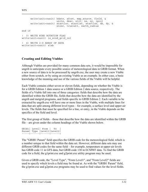
WPS<br />
end if<br />
write(unit=ounit) hdate, xfcst, map_source, field, &<br />
units, desc, xlvl, nx, ny, iproj<br />
write(unit=ounit) startloc, startlat, startlon, dx, dy, &<br />
xlonc, truelat1, earth_radius<br />
! 3) WRITE WIND ROTATION FLAG<br />
write(unit=ounit) is_wind_grid_rel<br />
! 4) WRITE 2-D ARRAY OF DATA<br />
write(unit=ounit) slab<br />
Creating and Editing Vtables<br />
Although Vtables are provided for many common data sets, it would be impossible for<br />
ungrib to anticipate every possible source of meteorological data in GRIB format. When<br />
a new source of data is to be processed by ungrib.exe, the user may create a new Vtable<br />
either from scratch, or by using an existing Vtable as an example. In either case, a basic<br />
knowledge of the meaning and use of the various fields of the Vtable will be helpful.<br />
Each Vtable contains either seven or eleven fields, depending on whether the Vtable is<br />
for a GRIB Edition 1 data source or a GRIB Edition 2 data source, respectively. The<br />
fields of a Vtable fall into one of three categories: fields that describe how the data are<br />
identified within the GRIB file, fields that describe how the data are identified by the<br />
ungrib and metgrid programs, and fields specific to GRIB Edition 2. Each variable to be<br />
extracted by ungrib.exe will have one or more lines in the Vtable, with multiple lines for<br />
data that are split among different level types – for example, a surface level and upper-air<br />
levels. The fields that must be specified for a line, or entry, in the Vtable depends on the<br />
specifics of the field and level.<br />
The first group of fields – those that describe how the data are identified within the GRIB<br />
file – are given under the column headings of the Vtable shown below.<br />
GRIB1| Level| From | To |<br />
Param| Type |Level1|Level2|<br />
-----+------+------+------+<br />
The "GRIB1 Param" field specifies the GRIB code for the meteorological field, which is<br />
a number unique to that field within the data set. However, different data sets may use<br />
different GRIB codes for the same field – for example, temperature at upper-air levels<br />
has GRIB code 11 in GFS data, but GRIB code 130 in ECMWF data. To find the GRIB<br />
code for a field, the g1print.exe and g2print.exe utility program may be used.<br />
Given a GRIB code, the "Level Type", "From Level1", and "From Level2" fields are<br />
used to specify which levels a field may be found at. As with the "GRIB1 Param" field,<br />
the g1print.exe and g2print.exe programs may be used to find values for the level fields.<br />
<strong>WRF</strong>-<strong>ARW</strong> V3: User’s <strong>Guide</strong> 3-32