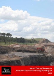
HVO 2009 Annual Environmental Management Report - Final
HVO 2009 Annual Environmental Management Report - Final
HVO 2009 Annual Environmental Management Report - Final

You also want an ePaper? Increase the reach of your titles
YUMPU automatically turns print PDFs into web optimized ePapers that Google loves.
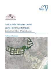
Coal & Allied – Hunter Valley Operations<br />
5.2.5 Methods, Thickness and Compaction of Cover Material<br />
After dozing the spoil dumps to form the final landscape, generally all rocks exceeding 200mm that have been<br />
exposed are removed by heaping and picking up by loader or scraper. Topsoil from stockpiles or directly from<br />
stripped areas is then spread by scraper or dozed over the slope. The topsoil is applied at a minimum depth<br />
of 100 mm (or otherwise as stated in the MOP, subject to available topsoil reserves), with minimal mechanical<br />
compaction. Les Russell and Son (contractor) carried out shaping activities of rehabilitation lands during the<br />
reporting period.<br />
5.2.6 Drainage and Erosion Control<br />
Drainage flows in locations which approximate the original flow lines in the mining lease area. Drainage is<br />
divided into a number of small catchments that feed into a large channel, with drainage lines from the final<br />
landform being compatible with the surrounding drainage network. This is achieved using a combination of<br />
controls such as graded banks, designed channels and, where necessary, water course reinforcement.<br />
Graded banks are generally constructed on the steeper slopes at a gradual grade and a vertical interval of<br />
approximately seven meters.<br />
Diversion drains, designed to collect surface runoff, have a maximum slope of 2 per cent in order to minimise<br />
erosion.<br />
Sedimentation dams are incorporated into the final landform at appropriate locations to collect water runoff<br />
and allow time for suspended sediment to settle out prior to the water leaving the site.<br />
Erosion control is primarily achieved through the establishment of productive vegetation cover on the<br />
rehabilitated slopes. Graded erosion banks may be constructed as a temporary erosion control measure<br />
during the early stages of the revegetation process.<br />
5.2.7 <strong>Final</strong> landform Profile Slopes<br />
The final shaped landform is constructed in accordance with Plan 6 of the DII Conditions of Open Cut Mining<br />
Approval. Under typical conditions, slopes are designed so as not to exceed ten degrees. Both internal and<br />
external slopes of reformed land in excess of 10 degrees and less than 18 degrees are permissible subject to<br />
agreement by the DII, whilst slopes in excess of 18 degrees require the Minister’s consent. The final landform<br />
profile consists of a series of hills, ridges and minor valley systems, and varies according to erosion hazard,<br />
stability and drainage requirements.<br />
<strong>Final</strong> landform profile and slopes were consistent with the rehabilitation plan for the reporting period. All<br />
completed rehabilitation areas are delineated or fenced off to prevent unauthorised access and eventually<br />
enable cattle grazing on suitable areas.<br />
5.2.8 Soil Treatment<br />
All areas rehabilitated in <strong>2009</strong> were treated with gypsum at a rate of approximately 10 tonnes per hectare. In<br />
2010, further soil testing will be undertaken to determine the success of the above application and if further<br />
aerial fertilising and seeding is required.<br />
AEMR <strong>2009</strong> 176