Source - Vi.potsdam.ny.us - Potsdam
Source - Vi.potsdam.ny.us - Potsdam
Source - Vi.potsdam.ny.us - Potsdam
You also want an ePaper? Increase the reach of your titles
YUMPU automatically turns print PDFs into web optimized ePapers that Google loves.
<strong>Potsdam</strong> Municipal Airport - Master Plan – Phase 1 Report<br />
At the national level, <strong>Potsdam</strong> Municipal Airport is included in the National Plan of<br />
Integrated Airport Systems 2009-2013 (NPIAS). This planning document includes<br />
3,356 existing airports that are significant to national air transportation and estimates<br />
that $49.7 billion in infrastructure development that is eligible for Federal aid will be<br />
needed over the next five years to meet the needs of all segments of civil aviation.<br />
General Aviation airports account for 19 percent of the total development. The FAA<br />
management in administering the Airport Improvement Program <strong>us</strong>es the NPIAS. It<br />
supports the FAA’s strategic goals for safety, system efficiency, and environmental<br />
compatibility by identifying the specific airport improvements that will contribute to<br />
achievement of those goals. The NPIAS anticipates <strong>Potsdam</strong> Municipal Airport<br />
project development costs that will be eligible for funding in excess of $2.6 million<br />
over the next five years.<br />
There are four public-<strong>us</strong>e airports and one private airfield within a 25-nautical mile<br />
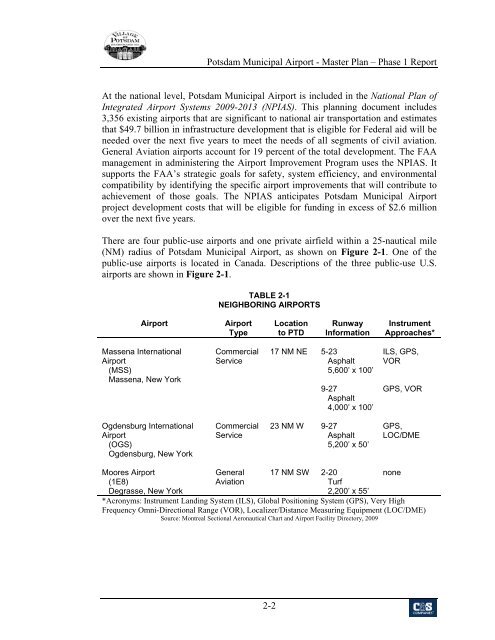
(NM) radi<strong>us</strong> of <strong>Potsdam</strong> Municipal Airport, as shown on Figure 2-1. One of the<br />
public-<strong>us</strong>e airports is located in Canada. Descriptions of the three public-<strong>us</strong>e U.S.<br />
airports are shown in Figure 2-1.<br />
TABLE 2-1<br />
NEIGHBORING AIRPORTS<br />
Airport<br />
Airport<br />
Type<br />
Location<br />
to PTD<br />
Runway<br />
Information<br />
Instrument<br />
Approaches*<br />
Massena International<br />
Airport<br />
(MSS)<br />
Massena, New York<br />
Commercial<br />
Service<br />
17 NM NE 5-23<br />
Asphalt<br />
5,600’ x 100’<br />
9-27<br />
Asphalt<br />
4,000’ x 100’<br />
ILS, GPS,<br />
VOR<br />
GPS, VOR<br />
Ogdensburg International<br />
Airport<br />
(OGS)<br />
Ogdensburg, New York<br />
Commercial<br />
Service<br />
23 NM W 9-27<br />
Asphalt<br />
5,200’ x 50’<br />
GPS,<br />
LOC/DME<br />
Moores Airport<br />
(1E8)<br />
Degrasse, New York<br />
General<br />
Aviation<br />
17 NM SW 2-20<br />
Turf<br />
none<br />
2,200’ x 55’<br />
*Acro<strong>ny</strong>ms: Instrument Landing System (ILS), Global Positioning System (GPS), Very High<br />
Frequency Omni-Directional Range (VOR), Localizer/Distance Measuring Equipment (LOC/DME)<br />
<strong>Source</strong>: Montreal Sectional Aeronautical Chart and Airport Facility Directory, 2009<br />
2-2


