navigation acronyms, abbreviations and definitions - International ...
navigation acronyms, abbreviations and definitions - International ...
navigation acronyms, abbreviations and definitions - International ...

You also want an ePaper? Increase the reach of your titles
YUMPU automatically turns print PDFs into web optimized ePapers that Google loves.
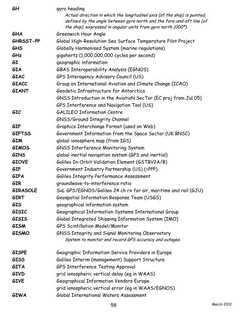
GH gyro heading<br />
Actual direction in which the longitudinal axis (of the ship) is pointed,<br />
defined by the angle between gyro north <strong>and</strong> the fore-<strong>and</strong>-aft line (of<br />
the ship), expressed in angular units from gyro north (000º).<br />
GHA Greenwich Hour Angle<br />
GHRSST-PP Global High-Resolution Sea Surface Temperature Pilot Project<br />
GHS Globally Harmonised System (marine regulations)<br />
GHz gigahertz (1,000,000,000 cycles per second)<br />
GI geographic information<br />
GIA GBAS Interoperability Analysis (EGNOS)<br />
GIAC GPS Interagency Advisory Council (US)<br />
GIACC Group on <strong>International</strong> Aviation <strong>and</strong> Climate Change (ICAO)<br />
GIANT Geodetic Infrastructure for Antarctica<br />
GIANT GNSS Introduction in the AviatioN SecTor (EC proj from Jul 05)<br />
GIANT GPS Interference <strong>and</strong> Navigation Tool (US)<br />
GIC GALILEO Information Centre<br />
GIC GNSS/Ground Integrity Channel<br />
GIF Graphics Interchange Format (used on Web)<br />
GIFTSS Government Information from the Space Sector (UK BNSC)<br />
GIM global ionosphere map (from IGS)<br />
GIMOS GNSS Interference Monitoring System<br />
GINS global inertial <strong>navigation</strong> system (GPS <strong>and</strong> inertial)<br />
GIOVE Galileo In-Orbit Validation Element (GSTBV2A/B)<br />
GIP Government Industry Partnership (US) (=PPP)<br />
GIPA Galileo Integrity Performance Assessment<br />
GIR groundwave-to-interference ratio<br />
GIRASOLE SoL GPS/EGNOS/Galileo 24 ch rx for air, maritime <strong>and</strong> rail (GJU)<br />
GIRT Geospatial Information Response Team (USGS)<br />
GIS geographical information system<br />
GISIC Geographical Information Systems <strong>International</strong> Group<br />
GISIS Global Integrated Shipping Information System (IMO)<br />
GISM GPS Scintillation Model/Monitor<br />
GISMO GNSS Integrity <strong>and</strong> Signal Monitoring Observatory<br />
System to monitor <strong>and</strong> record GPS accuracy <strong>and</strong> outages.<br />
GISPE Geographic Information Service Providers in Europe<br />
GISS Galileo Interim (management) Support Structure<br />
GITA GPS Interference Testing Approval<br />
GIVD grid ionospheric vertical delay (eg in WAAS)<br />
GIVE Geographical Information Vendors Europe<br />
GIVE grid ionospheric vertical error (eg in WAAS/EGNOS)<br />
GIWA Global <strong>International</strong> Waters Assessment<br />
58<br />
March 2012