State Planning Policy 2/07 Guideline - Queensland Mining and Safety
State Planning Policy 2/07 Guideline - Queensland Mining and Safety
State Planning Policy 2/07 Guideline - Queensland Mining and Safety
Create successful ePaper yourself
Turn your PDF publications into a flip-book with our unique Google optimized e-Paper software.
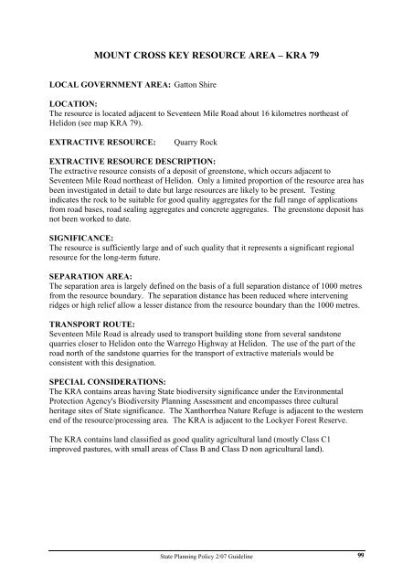
MOUNT CROSS KEY RESOURCE AREA – KRA 79<br />
LOCAL GOVERNMENT AREA: Gatton Shire<br />
LOCATION:<br />
The resource is located adjacent to Seventeen Mile Road about 16 kilometres northeast of<br />
Helidon (see map KRA 79).<br />
EXTRACTIVE RESOURCE: Quarry Rock<br />
EXTRACTIVE RESOURCE DESCRIPTION:<br />
The extractive resource consists of a deposit of greenstone, which occurs adjacent to<br />
Seventeen Mile Road northeast of Helidon. Only a limited proportion of the resource area has<br />
been investigated in detail to date but large resources are likely to be present. Testing<br />
indicates the rock to be suitable for good quality aggregates for the full range of applications<br />
from road bases, road sealing aggregates <strong>and</strong> concrete aggregates. The greenstone deposit has<br />
not been worked to date.<br />
SIGNIFICANCE:<br />
The resource is sufficiently large <strong>and</strong> of such quality that it represents a significant regional<br />
resource for the long-term future.<br />
SEPARATION AREA:<br />
The separation area is largely defined on the basis of a full separation distance of 1000 metres<br />
from the resource boundary. The separation distance has been reduced where intervening<br />
ridges or high relief allow a lesser distance from the resource boundary than the 1000 metres.<br />
TRANSPORT ROUTE:<br />
Seventeen Mile Road is already used to transport building stone from several s<strong>and</strong>stone<br />
quarries closer to Helidon onto the Warrego Highway at Helidon. The use of the part of the<br />
road north of the s<strong>and</strong>stone quarries for the transport of extractive materials would be<br />
consistent with this designation.<br />
SPECIAL CONSIDERATIONS:<br />
The KRA contains areas having <strong>State</strong> biodiversity significance under the Environmental<br />
Protection Agency's Biodiversity <strong>Planning</strong> Assessment <strong>and</strong> encompasses three cultural<br />
heritage sites of <strong>State</strong> significance. The Xanthorrhea Nature Refuge is adjacent to the western<br />
end of the resource/processing area. The KRA is adjacent to the Lockyer Forest Reserve.<br />
The KRA contains l<strong>and</strong> classified as good quality agricultural l<strong>and</strong> (mostly Class C1<br />
improved pastures, with small areas of Class B <strong>and</strong> Class D non agricultural l<strong>and</strong>).<br />
<strong>State</strong> <strong>Planning</strong> <strong>Policy</strong> 2/<strong>07</strong> <strong>Guideline</strong><br />
99


