State Planning Policy 2/07 Guideline - Queensland Mining and Safety
State Planning Policy 2/07 Guideline - Queensland Mining and Safety
State Planning Policy 2/07 Guideline - Queensland Mining and Safety
You also want an ePaper? Increase the reach of your titles
YUMPU automatically turns print PDFs into web optimized ePapers that Google loves.
114<br />
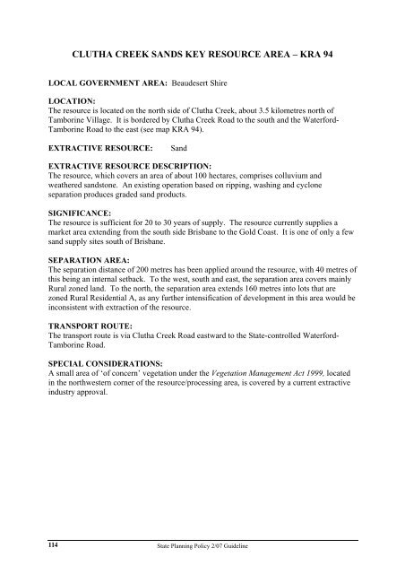
CLUTHA CREEK SANDS KEY RESOURCE AREA – KRA 94<br />
LOCAL GOVERNMENT AREA: Beaudesert Shire<br />
LOCATION:<br />
The resource is located on the north side of Clutha Creek, about 3.5 kilometres north of<br />
Tamborine Village. It is bordered by Clutha Creek Road to the south <strong>and</strong> the Waterford-<br />
Tamborine Road to the east (see map KRA 94).<br />
EXTRACTIVE RESOURCE: S<strong>and</strong><br />
EXTRACTIVE RESOURCE DESCRIPTION:<br />
The resource, which covers an area of about 100 hectares, comprises colluvium <strong>and</strong><br />
weathered s<strong>and</strong>stone. An existing operation based on ripping, washing <strong>and</strong> cyclone<br />
separation produces graded s<strong>and</strong> products.<br />
SIGNIFICANCE:<br />
The resource is sufficient for 20 to 30 years of supply. The resource currently supplies a<br />
market area extending from the south side Brisbane to the Gold Coast. It is one of only a few<br />
s<strong>and</strong> supply sites south of Brisbane.<br />
SEPARATION AREA:<br />
The separation distance of 200 metres has been applied around the resource, with 40 metres of<br />
this being an internal setback. To the west, south <strong>and</strong> east, the separation area covers mainly<br />
Rural zoned l<strong>and</strong>. To the north, the separation area extends 160 metres into lots that are<br />
zoned Rural Residential A, as any further intensification of development in this area would be<br />
inconsistent with extraction of the resource.<br />
TRANSPORT ROUTE:<br />
The transport route is via Clutha Creek Road eastward to the <strong>State</strong>-controlled Waterford-<br />
Tamborine Road.<br />
SPECIAL CONSIDERATIONS:<br />
A small area of ‘of concern’ vegetation under the Vegetation Management Act 1999, located<br />
in the northwestern corner of the resource/processing area, is covered by a current extractive<br />
industry approval.<br />
<strong>State</strong> <strong>Planning</strong> <strong>Policy</strong> 2/<strong>07</strong> <strong>Guideline</strong>


