State Planning Policy 2/07 Guideline - Queensland Mining and Safety
State Planning Policy 2/07 Guideline - Queensland Mining and Safety
State Planning Policy 2/07 Guideline - Queensland Mining and Safety
Create successful ePaper yourself
Turn your PDF publications into a flip-book with our unique Google optimized e-Paper software.
52<br />
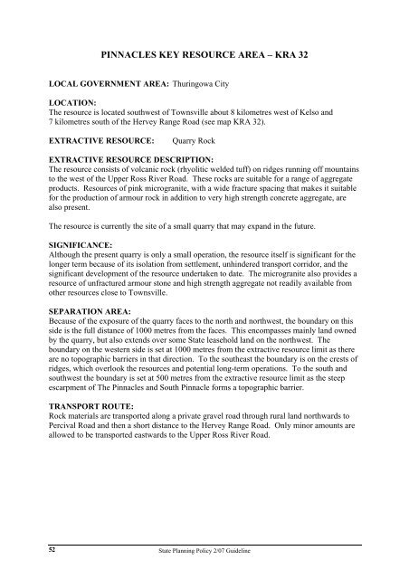
PINNACLES KEY RESOURCE AREA – KRA 32<br />
LOCAL GOVERNMENT AREA: Thuringowa City<br />
LOCATION:<br />
The resource is located southwest of Townsville about 8 kilometres west of Kelso <strong>and</strong><br />
7 kilometres south of the Hervey Range Road (see map KRA 32).<br />
EXTRACTIVE RESOURCE: Quarry Rock<br />
EXTRACTIVE RESOURCE DESCRIPTION:<br />
The resource consists of volcanic rock (rhyolitic welded tuff) on ridges running off mountains<br />
to the west of the Upper Ross River Road. These rocks are suitable for a range of aggregate<br />
products. Resources of pink microgranite, with a wide fracture spacing that makes it suitable<br />
for the production of armour rock in addition to very high strength concrete aggregate, are<br />
also present.<br />
The resource is currently the site of a small quarry that may exp<strong>and</strong> in the future.<br />
SIGNIFICANCE:<br />
Although the present quarry is only a small operation, the resource itself is significant for the<br />
longer term because of its isolation from settlement, unhindered transport corridor, <strong>and</strong> the<br />
significant development of the resource undertaken to date. The microgranite also provides a<br />
resource of unfractured armour stone <strong>and</strong> high strength aggregate not readily available from<br />
other resources close to Townsville.<br />
SEPARATION AREA:<br />
Because of the exposure of the quarry faces to the north <strong>and</strong> northwest, the boundary on this<br />
side is the full distance of 1000 metres from the faces. This encompasses mainly l<strong>and</strong> owned<br />
by the quarry, but also extends over some <strong>State</strong> leasehold l<strong>and</strong> on the northwest. The<br />
boundary on the western side is set at 1000 metres from the extractive resource limit as there<br />
are no topographic barriers in that direction. To the southeast the boundary is on the crests of<br />
ridges, which overlook the resources <strong>and</strong> potential long-term operations. To the south <strong>and</strong><br />
southwest the boundary is set at 500 metres from the extractive resource limit as the steep<br />
escarpment of The Pinnacles <strong>and</strong> South Pinnacle forms a topographic barrier.<br />
TRANSPORT ROUTE:<br />
Rock materials are transported along a private gravel road through rural l<strong>and</strong> northwards to<br />
Percival Road <strong>and</strong> then a short distance to the Hervey Range Road. Only minor amounts are<br />
allowed to be transported eastwards to the Upper Ross River Road.<br />
<strong>State</strong> <strong>Planning</strong> <strong>Policy</strong> 2/<strong>07</strong> <strong>Guideline</strong>


