State Planning Policy 2/07 Guideline - Queensland Mining and Safety
State Planning Policy 2/07 Guideline - Queensland Mining and Safety
State Planning Policy 2/07 Guideline - Queensland Mining and Safety
You also want an ePaper? Increase the reach of your titles
YUMPU automatically turns print PDFs into web optimized ePapers that Google loves.
66<br />
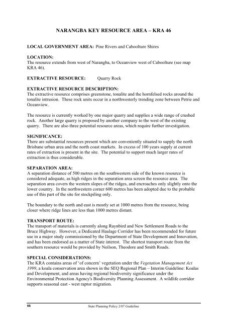
NARANGBA KEY RESOURCE AREA – KRA 46<br />
LOCAL GOVERNMENT AREA: Pine Rivers <strong>and</strong> Caboolture Shires<br />
LOCATION:<br />
The resource extends from west of Narangba, to Oceanview west of Caboolture (see map<br />
KRA 46).<br />
EXTRACTIVE RESOURCE: Quarry Rock<br />
EXTRACTIVE RESOURCE DESCRIPTION:<br />
The extractive resource comprises greenstone, tonalite <strong>and</strong> the hornfelsed rocks around the<br />
tonalite intrusion. These rock units occur in a northwesterly trending zone between Petrie <strong>and</strong><br />
Oceanview.<br />
The resource is currently worked by one major quarry <strong>and</strong> supplies a wide range of crushed<br />
rock. Another large quarry is proposed by another company to the west of the existing<br />
quarry. There are also three potential resource areas, which require further investigation.<br />
SIGNIFICANCE:<br />
There are substantial resources present which are conveniently situated to supply the north<br />
Brisbane urban area <strong>and</strong> the north coast markets. In excess of 100 years supply at current<br />
rates of extraction is present in the site. The potential to support much larger rates of<br />
extraction is thus considerable.<br />
SEPARATION AREA:<br />
A separation distance of 500 metres on the southwestern side of the known resource is<br />
considered adequate, as high ridges in the separation area screen the resource area. The<br />
separation area covers the western slopes of the ridges, <strong>and</strong> encroaches only slightly onto the<br />
lower country. In the northwestern corner 600 metres has been adopted due to the probable<br />
use of this part of the site for stockpiling only.<br />
The boundary to the north <strong>and</strong> east is mostly set at 1000 metres from the resource, being<br />
closer where ridge lines are less than 1000 metres distant.<br />
TRANSPORT ROUTE:<br />
The transport of materials is currently along Raynbird <strong>and</strong> New Settlement Roads to the<br />
Bruce Highway. However, a Dedicated Haulage Corridor has been recommended for future<br />
use in a major study commissioned by the Department of <strong>State</strong> Development <strong>and</strong> Innovation,<br />
<strong>and</strong> has been endorsed as a matter of <strong>State</strong> interest. The shortest transport route from the<br />
southern resource would be provided by Neilson, Theodore <strong>and</strong> Smith Roads.<br />
SPECIAL CONSIDERATIONS:<br />
The KRA contains areas of ‘of concern’ vegetation under the Vegetation Management Act<br />
1999, a koala conservation area shown in the SEQ Regional Plan – Interim <strong>Guideline</strong>: Koalas<br />
<strong>and</strong> Development, <strong>and</strong> areas having regional biodiversity significance under the<br />
Environmental Protection Agency's Biodiversity <strong>Planning</strong> Assessment. A wildlife corridor<br />
supports seasonal east - west raptor migration.<br />
<strong>State</strong> <strong>Planning</strong> <strong>Policy</strong> 2/<strong>07</strong> <strong>Guideline</strong>


