State Planning Policy 2/07 Guideline - Queensland Mining and Safety
State Planning Policy 2/07 Guideline - Queensland Mining and Safety
State Planning Policy 2/07 Guideline - Queensland Mining and Safety
You also want an ePaper? Increase the reach of your titles
YUMPU automatically turns print PDFs into web optimized ePapers that Google loves.
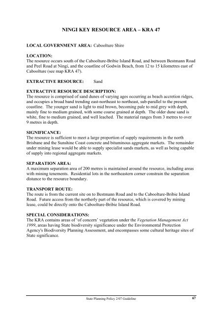
NINGI KEY RESOURCE AREA – KRA 47<br />
LOCAL GOVERNMENT AREA: Caboolture Shire<br />
LOCATION:<br />
The resource occurs south of the Caboolture-Bribie Isl<strong>and</strong> Road, <strong>and</strong> between Bestmann Road<br />
<strong>and</strong> Peel Road at Ningi, <strong>and</strong> the coastline of Godwin Beach, from 12 to 15 kilometres east of<br />
Caboolture (see map KRA 47).<br />
EXTRACTIVE RESOURCE: S<strong>and</strong><br />
EXTRACTIVE RESOURCE DESCRIPTION:<br />
The resource is comprised of s<strong>and</strong> dunes of varying ages occurring as beach accretion ridges,<br />
<strong>and</strong> occupies a broad b<strong>and</strong> trending east-northeast to northeast, sub-parallel to the present<br />
coastline. The younger s<strong>and</strong> is light to mid brown, becoming pale to mid grey with depth,<br />
mainly fine to medium grained, with some coarse grained at depth. The older dune s<strong>and</strong> is<br />
white, fine to medium grained, <strong>and</strong> well leached. The material ranges from 3 metres to over<br />
9 metres in depth.<br />
SIGNIFICANCE:<br />
The resource is sufficient to meet a large proportion of supply requirements in the north<br />
Brisbane <strong>and</strong> the Sunshine Coast concrete <strong>and</strong> bituminous aggregate markets. The remainder<br />
under mining lease would be able to supply specialist s<strong>and</strong>s markets, as well as being capable<br />
of supply into regional aggregate markets.<br />
SEPARATION AREA:<br />
A maximum separation area of 200 metres is maintained around the resource, including areas<br />
with mining tenements. Residential lots in the northeastern corner constrain the separation<br />
distance to the resource boundary.<br />
TRANSPORT ROUTE:<br />
The route is from the current site on to Bestmann Road <strong>and</strong> to the Caboolture-Bribie Isl<strong>and</strong><br />
Road. Future access from the northerly part of the resource, which is covered by mining<br />
lease, could be directly onto the Caboolture-Bribie Isl<strong>and</strong> Road.<br />
SPECIAL CONSIDERATIONS:<br />
The KRA contains areas of ‘of concern’ vegetation under the Vegetation Management Act<br />
1999, areas having <strong>State</strong> biodiversity significance under the Environmental Protection<br />
Agency's Biodiversity <strong>Planning</strong> Assessment, <strong>and</strong> encompasses some cultural heritage sites of<br />
<strong>State</strong> significance.<br />
<strong>State</strong> <strong>Planning</strong> <strong>Policy</strong> 2/<strong>07</strong> <strong>Guideline</strong><br />
67


