State Planning Policy 2/07 Guideline - Queensland Mining and Safety
State Planning Policy 2/07 Guideline - Queensland Mining and Safety
State Planning Policy 2/07 Guideline - Queensland Mining and Safety
Create successful ePaper yourself
Turn your PDF publications into a flip-book with our unique Google optimized e-Paper software.
94<br />
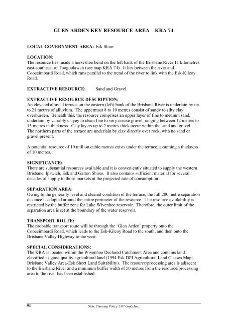
GLEN ARDEN KEY RESOURCE AREA – KRA 74<br />
LOCAL GOVERNMENT AREA: Esk Shire<br />
LOCATION:<br />
The resource lies inside a horseshoe bend on the left bank of the Brisbane River 11 kilometres<br />
east-southeast of Toogoolawah (see map KRA 74). It lies between the river <strong>and</strong><br />
Cooeeimbardi Road, which runs parallel to the trend of the river to link with the Esk-Kilcoy<br />
Road.<br />
EXTRACTIVE RESOURCE: S<strong>and</strong> <strong>and</strong> Gravel<br />
EXTRACTIVE RESOURCE DESCRIPTION:<br />
An elevated alluvial terrace on the eastern (left) bank of the Brisbane River is underlain by up<br />
to 21 metres of alluvium. The uppermost 8 to 10 metres consist of s<strong>and</strong>y to silty clay<br />
overburden. Beneath this, the resource comprises an upper layer of fine to medium s<strong>and</strong>,<br />
underlain by variably clayey to clean fine to very coarse gravel, ranging between 12 metres to<br />
15 metres in thickness. Clay layers up to 2 metres thick occur within the s<strong>and</strong> <strong>and</strong> gravel.<br />
The northern parts of the terrace are underlain by clay directly over rock, with no s<strong>and</strong> or<br />
gravel present.<br />
A potential resource of 10 million cubic metres exists under the terrace, assuming a thickness<br />
of 10 metres.<br />
SIGNIFICANCE:<br />
There are substantial resources available <strong>and</strong> it is conveniently situated to supply the western<br />
Brisbane, Ipswich, Esk <strong>and</strong> Gatton Shires. It also contains sufficient material for several<br />
decades of supply to those markets at the projected rate of consumption.<br />
SEPARATION AREA:<br />
Owing to the generally level <strong>and</strong> cleared condition of the terrace, the full 200 metre separation<br />
distance is adopted around the entire perimeter of the resource. The resource availability is<br />
restricted by the buffer zone for Lake Wivenhoe reservoir. Therefore, the outer limit of the<br />
separation area is set at the boundary of the water reservoir.<br />
TRANSPORT ROUTE:<br />
The probable transport route will be through the ‘Glen Arden’ property onto the<br />
Cooeeimbardi Road, which leads to the Esk-Kilcoy Road to the south, <strong>and</strong> then onto the<br />
Brisbane Valley Highway to the west.<br />
SPECIAL CONSIDERATIONS:<br />
The KRA is located within the Wivenhoe Declared Catchment Area <strong>and</strong> contains l<strong>and</strong><br />
classified as good quality agricultural l<strong>and</strong> (1994 Esk DPI Agricultural L<strong>and</strong> Classes Map;<br />
Brisbane Valley Area-Esk Sheet L<strong>and</strong> Suitability). The resource/processing area is adjacent<br />
to the Brisbane River <strong>and</strong> a minimum buffer width of 50 metres from the resource/processing<br />
area to the river has been established.<br />
<strong>State</strong> <strong>Planning</strong> <strong>Policy</strong> 2/<strong>07</strong> <strong>Guideline</strong>


