State Planning Policy 2/07 Guideline - Queensland Mining and Safety
State Planning Policy 2/07 Guideline - Queensland Mining and Safety
State Planning Policy 2/07 Guideline - Queensland Mining and Safety
You also want an ePaper? Increase the reach of your titles
YUMPU automatically turns print PDFs into web optimized ePapers that Google loves.
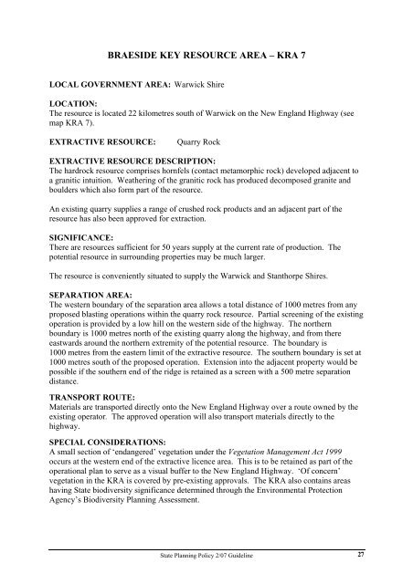
BRAESIDE KEY RESOURCE AREA – KRA 7<br />
LOCAL GOVERNMENT AREA: Warwick Shire<br />
LOCATION:<br />
The resource is located 22 kilometres south of Warwick on the New Engl<strong>and</strong> Highway (see<br />
map KRA 7).<br />
EXTRACTIVE RESOURCE: Quarry Rock<br />
EXTRACTIVE RESOURCE DESCRIPTION:<br />
The hardrock resource comprises hornfels (contact metamorphic rock) developed adjacent to<br />
a granitic intuition. Weathering of the granitic rock has produced decomposed granite <strong>and</strong><br />
boulders which also form part of the resource.<br />
An existing quarry supplies a range of crushed rock products <strong>and</strong> an adjacent part of the<br />
resource has also been approved for extraction.<br />
SIGNIFICANCE:<br />
There are resources sufficient for 50 years supply at the current rate of production. The<br />
potential resource in surrounding properties may be much larger.<br />
The resource is conveniently situated to supply the Warwick <strong>and</strong> Stanthorpe Shires.<br />
SEPARATION AREA:<br />
The western boundary of the separation area allows a total distance of 1000 metres from any<br />
proposed blasting operations within the quarry rock resource. Partial screening of the existing<br />
operation is provided by a low hill on the western side of the highway. The northern<br />
boundary is 1000 metres north of the existing quarry along the highway, <strong>and</strong> from there<br />
eastwards around the northern extremity of the potential resource. The boundary is<br />
1000 metres from the eastern limit of the extractive resource. The southern boundary is set at<br />
1000 metres south of the proposed operation. Extension into the adjacent property would be<br />
possible if the southern end of the ridge is retained as a screen with a 500 metre separation<br />
distance.<br />
TRANSPORT ROUTE:<br />
Materials are transported directly onto the New Engl<strong>and</strong> Highway over a route owned by the<br />
existing operator. The approved operation will also transport materials directly to the<br />
highway.<br />
SPECIAL CONSIDERATIONS:<br />
A small section of ‘endangered’ vegetation under the Vegetation Management Act 1999<br />
occurs at the western end of the extractive licence area. This is to be retained as part of the<br />
operational plan to serve as a visual buffer to the New Engl<strong>and</strong> Highway. ‘Of concern’<br />
vegetation in the KRA is covered by pre-existing approvals. The KRA also contains areas<br />
having <strong>State</strong> biodiversity significance determined through the Environmental Protection<br />
Agency’s Biodiversity <strong>Planning</strong> Assessment.<br />
<strong>State</strong> <strong>Planning</strong> <strong>Policy</strong> 2/<strong>07</strong> <strong>Guideline</strong><br />
27


