State Planning Policy 2/07 Guideline - Queensland Mining and Safety
State Planning Policy 2/07 Guideline - Queensland Mining and Safety
State Planning Policy 2/07 Guideline - Queensland Mining and Safety
You also want an ePaper? Increase the reach of your titles
YUMPU automatically turns print PDFs into web optimized ePapers that Google loves.
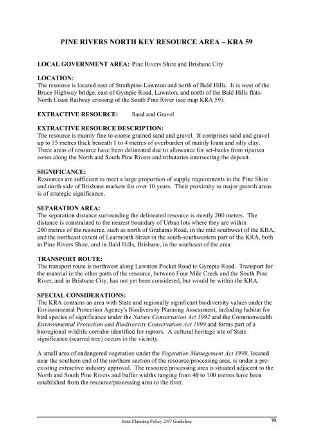
PINE RIVERS NORTH KEY RESOURCE AREA – KRA 59<br />
LOCAL GOVERNMENT AREA: Pine Rivers Shire <strong>and</strong> Brisbane City<br />
LOCATION:<br />
The resource is located east of Strathpine-Lawnton <strong>and</strong> north of Bald Hills. It is west of the<br />
Bruce Highway bridge, east of Gympie Road, Lawnton, <strong>and</strong> north of the Bald Hills flats-<br />
North Coast Railway crossing of the South Pine River (see map KRA 59).<br />
EXTRACTIVE RESOURCE: S<strong>and</strong> <strong>and</strong> Gravel<br />
EXTRACTIVE RESOURCE DESCRIPTION:<br />
The resource is mainly fine to coarse grained s<strong>and</strong> <strong>and</strong> gravel. It comprises s<strong>and</strong> <strong>and</strong> gravel<br />
up to 15 metres thick beneath 1 to 4 metres of overburden of mainly loam <strong>and</strong> silty clay.<br />
Three areas of resource have been delineated due to allowance for set-backs from riparian<br />
zones along the North <strong>and</strong> South Pine Rivers <strong>and</strong> tributaries intersecting the deposit.<br />
SIGNIFICANCE:<br />
Resources are sufficient to meet a large proportion of supply requirements in the Pine Shire<br />
<strong>and</strong> north side of Brisbane markets for over 10 years. Their proximity to major growth areas<br />
is of strategic significance.<br />
SEPARATION AREA:<br />
The separation distance surrounding the delineated resource is mostly 200 metres. The<br />
distance is constrained to the nearest boundary of Urban lots where they are within<br />
200 metres of the resource, such as north of Grahams Road, in the mid southwest of the KRA,<br />
<strong>and</strong> the northeast extent of Learmonth Street in the south-southwestern part of the KRA, both<br />
in Pine Rivers Shire, <strong>and</strong> in Bald Hills, Brisbane, in the southeast of the area.<br />
TRANSPORT ROUTE:<br />
The transport route is northwest along Lawnton Pocket Road to Gympie Road. Transport for<br />
the material in the other parts of the resource, between Four Mile Creek <strong>and</strong> the South Pine<br />
River, <strong>and</strong> in Brisbane City, has not yet been considered, but would be within the KRA.<br />
SPECIAL CONSIDERATIONS:<br />
The KRA contains an area with <strong>State</strong> <strong>and</strong> regionally significant biodiversity values under the<br />
Environmental Protection Agency's Biodiversity <strong>Planning</strong> Assessment, including habitat for<br />
bird species of significance under the Nature Conservation Act 1992 <strong>and</strong> the Commonwealth<br />
Environmental Protection <strong>and</strong> Biodiversity Conservation Act 1999 <strong>and</strong> forms part of a<br />
bioregional wildlife corridor identified for raptors. A cultural heritage site of <strong>State</strong><br />
significance (scarred tree) occurs in the vicinity.<br />
A small area of endangered vegetation under the Vegetation Management Act 1999, located<br />
near the southern end of the northern section of the resource/processing area, is under a preexisting<br />
extractive industry approval. The resource/processing area is situated adjacent to the<br />
North <strong>and</strong> South Pine Rivers <strong>and</strong> buffer widths ranging from 40 to 100 metres have been<br />
established from the resource/processing area to the river.<br />
<strong>State</strong> <strong>Planning</strong> <strong>Policy</strong> 2/<strong>07</strong> <strong>Guideline</strong><br />
79


