State Planning Policy 2/07 Guideline - Queensland Mining and Safety
State Planning Policy 2/07 Guideline - Queensland Mining and Safety
State Planning Policy 2/07 Guideline - Queensland Mining and Safety
Create successful ePaper yourself
Turn your PDF publications into a flip-book with our unique Google optimized e-Paper software.
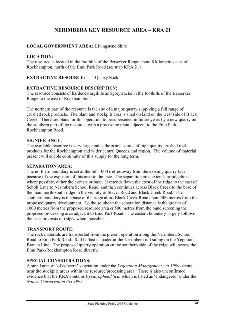
NERIMBERA KEY RESOURCE AREA – KRA 21<br />
LOCAL GOVERNMENT AREA: Livingstone Shire<br />
LOCATION:<br />
The resource is located in the foothills of the Berserker Range about 8 kilometres east of<br />
Rockhampton, north of the Emu Park Road (see map KRA 21).<br />
EXTRACTIVE RESOURCE: Quarry Rock<br />
EXTRACTIVE RESOURCE DESCRIPTION:<br />
The resource consists of hardened argillite <strong>and</strong> greywacke in the foothills of the Berserker<br />
Range to the east of Rockhampton.<br />
The northern part of the resource is the site of a major quarry supplying a full range of<br />
crushed rock products. The plant <strong>and</strong> stockpile area is sited on l<strong>and</strong> on the west side of Black<br />
Creek. There are plans for this operation to be superseded in future years by a new quarry on<br />
the southern part of the resource, with a processing plant adjacent to the Emu Park-<br />
Rockhampton Road.<br />
SIGNIFICANCE:<br />
The available resource is very large <strong>and</strong> is the prime source of high quality crushed rock<br />
products for the Rockhampton <strong>and</strong> wider central <strong>Queensl<strong>and</strong></strong> region. The volume of material<br />
present will enable continuity of this supply for the long term.<br />
SEPARATION AREA:<br />
The northern boundary is set at the full 1000 metres away from the existing quarry face<br />
because of the exposure of this area to the face. The separation area extends to ridgelines<br />
where possible, either their crests or base. It extends down the crest of the ridge to the east of<br />
Scholl Lane to Nerimbera School Road, <strong>and</strong> then continues across Black Creek to the base of<br />
the main north-south ridge in the vicinity of Stover Road <strong>and</strong> Black Creek Road. The<br />
southern boundary is the base of the ridge along Black Creek Road about 500 metres from the<br />
proposed quarry development. To the southeast the separation distance is the greater of<br />
1000 metres from the proposed resource area or 500 metres from the bund screening the<br />
proposed processing area adjacent to Emu Park Road. The eastern boundary largely follows<br />
the base or crests of ridges where possible.<br />
TRANSPORT ROUTE:<br />
The rock materials are transported from the present operation along the Nerimbera School<br />
Road to Emu Park Road. Rail ballast is loaded at the Nerimbera rail siding on the Yeppoon<br />
Branch Line. The proposed quarry operation on the southern side of the ridge will access the<br />
Emu Park-Rockhampton Road directly.<br />
SPECIAL CONSIDERATIONS:<br />
A small area of ‘of concern’ vegetation under the Vegetation Management Act 1999 occurs<br />
near the stockpile areas within the resource/processing area. There is also unconfirmed<br />
evidence that the KRA contains Cycas opheiolitica, which is listed as ‘endangered’ under the<br />
Nature Conservation Act 1992.<br />
<strong>State</strong> <strong>Planning</strong> <strong>Policy</strong> 2/<strong>07</strong> <strong>Guideline</strong><br />
41


