State Planning Policy 2/07 Guideline - Queensland Mining and Safety
State Planning Policy 2/07 Guideline - Queensland Mining and Safety
State Planning Policy 2/07 Guideline - Queensland Mining and Safety
Create successful ePaper yourself
Turn your PDF publications into a flip-book with our unique Google optimized e-Paper software.
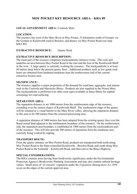
MOY POCKET KEY RESOURCE AREA – KRA 89<br />
LOCAL GOVERNMENT AREA: Cooloola Shire<br />
LOCATION:<br />
The resource lies west of the Mary River at Moy Pocket, 35 kilometres south of Gympie via<br />
the Gympie to Kenilworth road to Brooloo, <strong>and</strong> thence via Moy Pocket Road (see map<br />
KRA 89).<br />
EXTRACTIVE RESOURCE: Quarry Rock<br />
EXTRACTIVE RESOURCE DESCRIPTION:<br />
The main part of the resource comprises trachy<strong>and</strong>esitic intrusive rocks. This rock unit<br />
underlies an area between Moy Pocket Road in the east <strong>and</strong> the foot of the Kenilworth Bluff<br />
in the west. A large quarry is currently working the resource. The trachy<strong>and</strong>esite is at least<br />
60 metres deep below the present quarry floor. Additional products such as low grade road<br />
bases are obtained from hardened mudstone near the northwestern end of the current<br />
extractive licence area.<br />
SIGNIFICANCE:<br />
The resource supplies a major proportion of the dem<strong>and</strong> for road base, aggregate, <strong>and</strong> armour<br />
rock in the Cooloola <strong>and</strong> Maroochy Shires. Products are also supplied to the Noosa Shire.<br />
The trachy<strong>and</strong>esite is preferred over other rock types available in those Shires for asphalt<br />
screenings for road surfacing.<br />
SEPARATION AREA:<br />
The separation distance is set 1000 metres from the southwestern edge of the resource,<br />
extending over the eastern slopes of Kenilworth Bluff. The southeastern ridge of the quarry<br />
will be retained as a visual barrier to the Mary River valley, allowing the separation distance<br />
in this area to be 500 metres from the resource/processing area.<br />
A separation distance of 1000 metres has been adopted from the existing quarry face over the<br />
Rural-zoned l<strong>and</strong> adjacent to the northeastern boundary of the resource. On the northwestern<br />
side, the separation area boundary is established at 1000 metres from the trachy<strong>and</strong>esite part<br />
of the resource. This will also provide 500 metres of separation from the mudstone area<br />
currently being worked by ripping.<br />
TRANSPORT ROUTE:<br />
From the quarry entrance on Moy Pocket Road, products are transported both north along<br />
Moy Pocket Road to the <strong>State</strong>-controlled Kenilworth – Brooloo Road, <strong>and</strong> south along Moy<br />
Pocket Road to the Eumundi – Kenilworth Road, <strong>and</strong> then east to the Bruce Highway.<br />
SPECIAL CONSIDERATIONS:<br />
The KRA contains areas having <strong>State</strong> biodiversity significance under the Environmental<br />
Protection Agency's Biodiversity <strong>Planning</strong> Assessment <strong>and</strong> may also contain cultural heritage<br />
values. Small areas of ‘of concern’ vegetation under the Vegetation Management Act 1999<br />
occur on the edges of the current approval area.<br />
<strong>State</strong> <strong>Planning</strong> <strong>Policy</strong> 2/<strong>07</strong> <strong>Guideline</strong><br />
109


