State Planning Policy 2/07 Guideline - Queensland Mining and Safety
State Planning Policy 2/07 Guideline - Queensland Mining and Safety
State Planning Policy 2/07 Guideline - Queensland Mining and Safety
Create successful ePaper yourself
Turn your PDF publications into a flip-book with our unique Google optimized e-Paper software.
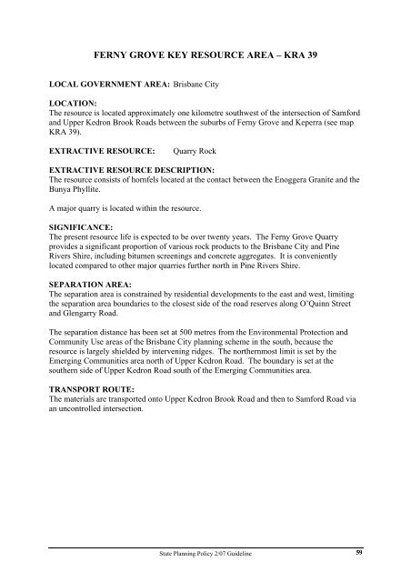
FERNY GROVE KEY RESOURCE AREA – KRA 39<br />
LOCAL GOVERNMENT AREA: Brisbane City<br />
LOCATION:<br />
The resource is located approximately one kilometre southwest of the intersection of Samford<br />
<strong>and</strong> Upper Kedron Brook Roads between the suburbs of Ferny Grove <strong>and</strong> Keperra (see map<br />
KRA 39).<br />
EXTRACTIVE RESOURCE: Quarry Rock<br />
EXTRACTIVE RESOURCE DESCRIPTION:<br />
The resource consists of hornfels located at the contact between the Enoggera Granite <strong>and</strong> the<br />
Bunya Phyllite.<br />
A major quarry is located within the resource.<br />
SIGNIFICANCE:<br />
The present resource life is expected to be over twenty years. The Ferny Grove Quarry<br />
provides a significant proportion of various rock products to the Brisbane City <strong>and</strong> Pine<br />
Rivers Shire, including bitumen screenings <strong>and</strong> concrete aggregates. It is conveniently<br />
located compared to other major quarries further north in Pine Rivers Shire.<br />
SEPARATION AREA:<br />
The separation area is constrained by residential developments to the east <strong>and</strong> west, limiting<br />
the separation area boundaries to the closest side of the road reserves along O’Quinn Street<br />
<strong>and</strong> Glengarry Road.<br />
The separation distance has been set at 500 metres from the Environmental Protection <strong>and</strong><br />
Community Use areas of the Brisbane City planning scheme in the south, because the<br />
resource is largely shielded by intervening ridges. The northernmost limit is set by the<br />
Emerging Communities area north of Upper Kedron Road. The boundary is set at the<br />
southern side of Upper Kedron Road south of the Emerging Communities area.<br />
TRANSPORT ROUTE:<br />
The materials are transported onto Upper Kedron Brook Road <strong>and</strong> then to Samford Road via<br />
an uncontrolled intersection.<br />
<strong>State</strong> <strong>Planning</strong> <strong>Policy</strong> 2/<strong>07</strong> <strong>Guideline</strong><br />
59


