State Planning Policy 2/07 Guideline - Queensland Mining and Safety
State Planning Policy 2/07 Guideline - Queensland Mining and Safety
State Planning Policy 2/07 Guideline - Queensland Mining and Safety
You also want an ePaper? Increase the reach of your titles
YUMPU automatically turns print PDFs into web optimized ePapers that Google loves.
50<br />
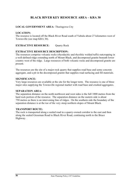
BLACK RIVER KEY RESOURCE AREA – KRA 30<br />
LOCAL GOVERNMENT AREA: Thuringowa City<br />
LOCATION:<br />
The resource is located off the Black River Road south of Yabulu about 27 kilometres west of<br />
Townsville (see map KRA 30).<br />
EXTRACTIVE RESOURCE: Quarry Rock<br />
EXTRACTIVE RESOURCE DESCRIPTION:<br />
The resources comprise volcanic rocks (rhyodacitic <strong>and</strong> rhyolitic welded tuffs) outcropping in<br />
a well-defined ridge extending north of Mount Black, <strong>and</strong> decomposed granite beneath lower<br />
country west of the ridge. Large resources of both volcanic rocks <strong>and</strong> decomposed granite are<br />
present.<br />
The resources are the site of a major rock quarry that supplies road base <strong>and</strong> some concrete<br />
aggregate, <strong>and</strong> a pit in the decomposed granite that supplies road surfacing <strong>and</strong> fill materials.<br />
SIGNIFICANCE:<br />
Very large resources are available at the site for the longer term. The resource is one of three<br />
major sites supplying the Townsville regional market with road base <strong>and</strong> crushed aggregates.<br />
SEPARATION AREA:<br />
The separation distance on the north northwest <strong>and</strong> west sides is the full 1000 metres from the<br />
hard rock portion of the resource. The separation distance on the eastern side is about<br />
750 metres as there is an intervening line of ridges. On the southern side the boundary of the<br />
separation distance is at the toe of the very steep northern slopes of Mount Black.<br />
TRANSPORT ROUTE:<br />
The rock is transported along a sealed road in a quarry-owned corridor to the east <strong>and</strong> then<br />
along the sealed Gieseman Road to Black River Road, continuing north to the Bruce<br />
Highway.<br />
<strong>State</strong> <strong>Planning</strong> <strong>Policy</strong> 2/<strong>07</strong> <strong>Guideline</strong>


