State Planning Policy 2/07 Guideline - Queensland Mining and Safety
State Planning Policy 2/07 Guideline - Queensland Mining and Safety
State Planning Policy 2/07 Guideline - Queensland Mining and Safety
You also want an ePaper? Increase the reach of your titles
YUMPU automatically turns print PDFs into web optimized ePapers that Google loves.
84<br />
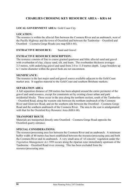
CHARLIES CROSSING KEY RESOURCE AREA – KRA 64<br />
LOCAL GOVERNMENT AREA: Gold Coast City<br />
LOCATION:<br />
The resource is within the alluvial flats between the Coomera River <strong>and</strong> an anabranch, west of<br />
the Pacific Highway <strong>and</strong> the town of Oxenford <strong>and</strong> between the Tamborine – Oxenford <strong>and</strong><br />
Oxenford – Coomera Gorge Roads (see map KRA 64).<br />
EXTRACTIVE RESOURCE: S<strong>and</strong> <strong>and</strong> Gravel<br />
EXTRACTIVE RESOURCE DESCRIPTION:<br />
The resource consists of fine to coarse grained quartzose <strong>and</strong> lithic alluvial s<strong>and</strong> <strong>and</strong> gravel<br />
with overburden of clay, clayey s<strong>and</strong>, silt, <strong>and</strong> loam. The overburden thickness averages<br />
3.5 metres, with underlying gravel <strong>and</strong> s<strong>and</strong> from 3.0 to 11.0 metres depth. Large boulders up<br />
to 1 metre diameter within the gravel beds are not uncommon.<br />
SIGNIFICANCE:<br />
The resource is the last major s<strong>and</strong> <strong>and</strong> gravel source available adjacent to the Gold Coast<br />
market area. It supplies material to the Gold Coast <strong>and</strong> southern Brisbane markets.<br />
SEPARATION AREA<br />
A full separation distance of 200 metres has been adopted around the entire perimeter of the<br />
gravel <strong>and</strong> s<strong>and</strong> resource, except for constraints set by existing closer urban <strong>and</strong> park<br />
residential blocks. These occur in the area along the northern section, south of the Tamborine<br />
– Oxenford Road, along the western side between the northern anabranch of the Coomera<br />
River <strong>and</strong> Glenview Road, <strong>and</strong> on the southern side between the Oxenford – Coomera Gorge<br />
Road <strong>and</strong> the southern anabranch of the Coomera River. The area to the east is amalgamated<br />
with that for the Oxenford Key Resource Area (KRA 68).<br />
TRANSPORT ROUTE<br />
Materials are transported directly onto Oxenford – Coomera Gorge Road opposite the<br />
Oxenford quarry entrance.<br />
SPECIAL CONSIDERATIONS:<br />
The resource/processing area lies between the Coomera River <strong>and</strong> an anabranch. A minimum<br />
buffer width of 40 metres has been established between the resource/processing area <strong>and</strong> both<br />
the Coomera River <strong>and</strong> its anabranch. A very small area of ‘of concern’ vegetation under the<br />
Vegetation Management Act 1999 occurs along the riparian zone immediately upstream of the<br />
Tamborine – Oxenford Road river crossing. This has been excluded from the<br />
resource/processing area.<br />
<strong>State</strong> <strong>Planning</strong> <strong>Policy</strong> 2/<strong>07</strong> <strong>Guideline</strong>


