State Planning Policy 2/07 Guideline - Queensland Mining and Safety
State Planning Policy 2/07 Guideline - Queensland Mining and Safety
State Planning Policy 2/07 Guideline - Queensland Mining and Safety
You also want an ePaper? Increase the reach of your titles
YUMPU automatically turns print PDFs into web optimized ePapers that Google loves.
64<br />
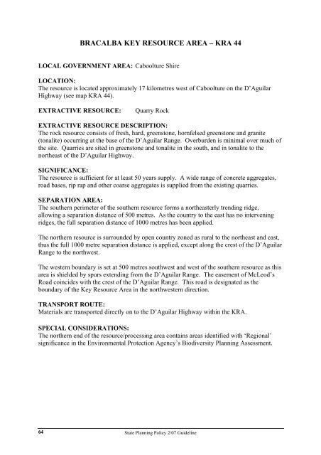
BRACALBA KEY RESOURCE AREA – KRA 44<br />
LOCAL GOVERNMENT AREA: Caboolture Shire<br />
LOCATION:<br />
The resource is located approximately 17 kilometres west of Caboolture on the D’Aguilar<br />
Highway (see map KRA 44).<br />
EXTRACTIVE RESOURCE: Quarry Rock<br />
EXTRACTIVE RESOURCE DESCRIPTION:<br />
The rock resource consists of fresh, hard, greenstone, hornfelsed greenstone <strong>and</strong> granite<br />
(tonalite) occurring at the base of the D’Aguilar Range. Overburden is minimal over much of<br />
the site. Quarries are sited in greenstone <strong>and</strong> tonalite in the south, <strong>and</strong> in tonalite to the<br />
northeast of the D’Aguilar Highway.<br />
SIGNIFICANCE:<br />
The resource is sufficient for at least 50 years supply. A wide range of concrete aggregates,<br />
road bases, rip rap <strong>and</strong> other coarse aggregates is supplied from the existing quarries.<br />
SEPARATION AREA:<br />
The southern perimeter of the southern resource forms a northeasterly trending ridge,<br />
allowing a separation distance of 500 metres. As the country to the east has no intervening<br />
ridges, the full separation distance of 1000 metres has been applied.<br />
The northern resource is surrounded by open country zoned as rural to the northeast <strong>and</strong> east,<br />
thus the full 1000 metre separation distance is applied, except along the crest of the D’Aguilar<br />
Range to the northwest.<br />
The western boundary is set at 500 metres southwest <strong>and</strong> west of the southern resource as this<br />
area is shielded by spurs extending from the D’Aguilar Range. The easement of McLeod’s<br />
Road coincides with the crest of the D’Aguilar Range. This road is designated as the<br />
boundary of the Key Resource Area in the northwestern direction.<br />
TRANSPORT ROUTE:<br />
Materials are transported directly on to the D’Aguilar Highway within the KRA.<br />
SPECIAL CONSIDERATIONS:<br />
The northern end of the resource/processing area contains areas identified with ‘Regional’<br />
significance in the Environmental Protection Agency’s Biodiversity <strong>Planning</strong> Assessment.<br />
<strong>State</strong> <strong>Planning</strong> <strong>Policy</strong> 2/<strong>07</strong> <strong>Guideline</strong>


