State Planning Policy 2/07 Guideline - Queensland Mining and Safety
State Planning Policy 2/07 Guideline - Queensland Mining and Safety
State Planning Policy 2/07 Guideline - Queensland Mining and Safety
Create successful ePaper yourself
Turn your PDF publications into a flip-book with our unique Google optimized e-Paper software.
70<br />
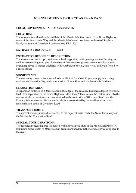
GLENVIEW KEY RESOURCE AREA – KRA 50<br />
LOCAL GOVERNMENT AREA: Caloundra City<br />
LOCATION:<br />
The resource is within the alluvial flats of the Mooloolah River west of the Bruce Highway,<br />
north of the Steve Irwin Way <strong>and</strong> the Mooloolah Connection Road, <strong>and</strong> east of Stephens<br />
Road, <strong>and</strong> south of Glenview Road (see map KRA 50).<br />
EXTRACTIVE RESOURCE: S<strong>and</strong><br />
EXTRACTIVE RESOURCE DESCRIPTION:<br />
The resource occurs in open agricultural l<strong>and</strong> supporting cattle grazing <strong>and</strong> turf farming, as<br />
well as two working s<strong>and</strong> pits. It consists of fine to coarse grained quartzose alluvial s<strong>and</strong><br />
averaging about 10 metres thickness with overburden of clay, s<strong>and</strong>y clay <strong>and</strong> loam from 4 to<br />
5 metres thick.<br />
SIGNIFICANCE:<br />
The remaining resource is estimated to be sufficient for about 30 years supply to existing<br />
markets in Caloundra City, <strong>and</strong> areas north to Noosa Shire <strong>and</strong> south towards Brisbane.<br />
SEPARATION AREA:<br />
A separation distance of 200 metres from the edge of the resource has been adopted over rural<br />
l<strong>and</strong>. The separation to the Bruce Highway is less than 200 metres on the eastern side. To the<br />
northwest, the separation area is constrained to the south side of Glenview Road near the<br />
Primary School reserve. On the north side, it is constrained by the small rural <strong>and</strong> rural<br />
residential lots south of Glenview Road.<br />
TRANSPORT ROUTE:<br />
The current workings have direct access to the adjacent main roads, the Steve Irwin Way <strong>and</strong><br />
the Mooloolah Connection Road.<br />
SPECIAL CONSIDERATIONS:<br />
The resource/processing area is situated within the alluvial flats of the Mooloolah River. A<br />
minimum buffer width of 50 metres has been established from the resource/processing area to<br />
the river.<br />
<strong>State</strong> <strong>Planning</strong> <strong>Policy</strong> 2/<strong>07</strong> <strong>Guideline</strong>


