State Planning Policy 2/07 Guideline - Queensland Mining and Safety
State Planning Policy 2/07 Guideline - Queensland Mining and Safety
State Planning Policy 2/07 Guideline - Queensland Mining and Safety
You also want an ePaper? Increase the reach of your titles
YUMPU automatically turns print PDFs into web optimized ePapers that Google loves.
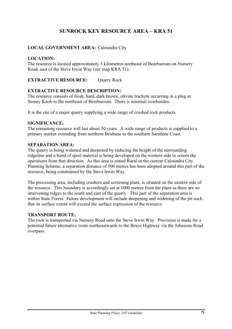
SUNROCK KEY RESOURCE AREA – KRA 51<br />
LOCAL GOVERNMENT AREA: Caloundra City<br />
LOCATION:<br />
The resource is located approximately 3 kilometres northeast of Beerburrum on Nursery<br />
Road, east of the Steve Irwin Way (see map KRA 51).<br />
EXTRACTIVE RESOURCE: Quarry Rock<br />
EXTRACTIVE RESOURCE DESCRIPTION:<br />
The resource consists of fresh, hard, dark brown, olivine trachyte occurring in a plug at<br />
Stoney Knob to the northeast of Beerburrum. There is minimal overburden.<br />
It is the site of a major quarry supplying a wide range of crushed rock products.<br />
SIGNIFICANCE:<br />
The remaining resource will last about 30 years. A wide range of products is supplied to a<br />
primary market extending from northern Brisbane to the southern Sunshine Coast.<br />
SEPARATION AREA:<br />
The quarry is being widened <strong>and</strong> deepened by reducing the height of the surrounding<br />
ridgeline <strong>and</strong> a bund of spoil material is being developed on the western side to screen the<br />
operations from that direction. As this area is zoned Rural in the current Caloundra City<br />
<strong>Planning</strong> Scheme, a separation distance of 500 metres has been adopted around this part of the<br />
resource, being constrained by the Steve Irwin Way.<br />
The processing area, including crushers <strong>and</strong> screening plant, is situated on the eastern side of<br />
the resource. This boundary is accordingly set at 1000 metres from the plant as there are no<br />
intervening ridges to the south <strong>and</strong> east of the quarry. This part of the separation area is<br />
within <strong>State</strong> Forest. Future development will include deepening <strong>and</strong> widening of the pit such<br />
that its surface extent will exceed the surface expression of the resource.<br />
TRANSPORT ROUTE:<br />
The rock is transported via Nursery Road onto the Steve Irwin Way. Provision is made for a<br />
potential future alternative route northeastwards to the Bruce Highway via the Johnsons Road<br />
overpass.<br />
<strong>State</strong> <strong>Planning</strong> <strong>Policy</strong> 2/<strong>07</strong> <strong>Guideline</strong><br />
71


