

RESEARCH· ·1970·
RESEARCH· ·1970·
RESEARCH· ·1970·

Create successful ePaper yourself
Turn your PDF publications into a flip-book with our unique Google optimized e-Paper software.
\.<br />
GE·OLOGICAL SURVEY RESEARCH 1970<br />
GEOLOGIC AND GRAVITY EVIDENCE FOR A BURIED PLUTON,<br />
LITTLE BELT MOUNTAINS, CENTRAL MONTANA<br />
By I. j. WITKIND, M·. D. KLEINKOPF, and W. R. KEEFER,<br />
Denver, Colo.<br />
. .J,<br />
...<br />
Abstra.ot.-Grnvity contours delineate a buried pluton that<br />
has domed Precambrian metamorphic crystalline rocks exposed<br />
in the core of the J .. ittle Belt Mountains, central Montana. 'l;he<br />
pluton, probnbly of Tertiary age, appears to be a northeastwardtrendi.ng<br />
ovoid body 3 miles wide and possibly as much as 7<br />
miles long.<br />
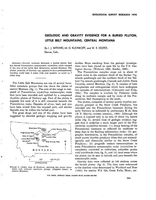
The Little Belt l\1ountains are one of several laccolithic<br />
mountain groups that rise above the plains of<br />
central l\1ontana (fig. 1). The core of the range is composed<br />
of Precambrian crystalline metamorphic rocks<br />
that have been intruded and uplifted by a compound<br />
rhyolitic pluton of Tertiary age. Part of the pluton is<br />
exposed, but most of it is still concealed beneath the<br />
Precambrian rocks. Deposits of silver, lead, and zinc<br />
.have been mined from the exposed part, and similar<br />
deposits may be within the buried part.<br />
The gross shape and size of the pluton have been<br />
suggested by detailed geologic mapping and gravity<br />
r----<br />
1 -----------------------,<br />
I<br />
. I<br />
~ Bearpaw Mts , .. Little Ro~<br />
\ HlghwoodM~!:Mt/- ~<br />
\ Area of r*J'ort·.,. 1 .. r;p='·· Judith Mts I<br />
l!"'IOUIU·~<br />
' Little Belt Mts ' )~~"'<br />
-~ HELENAO ,m. Big Snowy Mts N Castle Mts@ t ,' G>'crazy Mts I<br />
'-"' \ M 0 N T.A N A. :<br />
\,. ...----------------___J<br />
\ I<br />
~ ...... _/\.J<br />
0 100 200 MILES<br />
APPROXIMATE<br />
1.-Index mnp of Montana, showing the major Iaccolithic<br />
and volcanic mountain groups (stippled areas) in<br />
central Montana.<br />
studies. l\1aps resulting f:rom the geologic investigations<br />
have been placed on open file by the U.S. Geological<br />
Survey ('Vitkind, 1969 ; l(eefer, 1969).<br />
The Precambrian complex crops out in about 50<br />
square miles in the southern third of the Barker 71j2-<br />
minute quadrangle and the no~thern third ·of the Neihart<br />
71h-minute quadrangle, Cascade and Judith Basin<br />
Com1ties, cen1Jra:l Monttana (fig. 2). It consists of both<br />
paragneisses and orthogneisses which have undergone<br />
two episodes of metamorphism (Catanzaro and l(ulp,<br />
1964). The complex is overlain by Paleozoic rocks<br />
along its northern margin and by rocks of the Precambrian<br />
Belt Supergroup to the south.<br />
The pluton, composed of several quartz rhyolite porphyries<br />
grouped as the Snow Creek Porphyry, was<br />
intruded into the Precambrian basement during the<br />
early Tertiary as indicated by preliminary l(-Ar data<br />
(R. F. l\1arvin, written commun., 1969). Although the<br />
pluton is exposed only in an area of about 11j2 square<br />
miles (fig. 2), several lines of geologic ev1dence suggest<br />
that it underlies a much larger part of the Precambrian<br />
crystalline terrane : ( 1) sharp doming of the<br />
Precambrian basement as reflected by moderate to<br />
steep dips in the flanking sedimentary rocks ; ( 2) geographic<br />
distribution, in the Precambrian complex, of<br />
small quartz rhyolite porphyry dikes that are mineralogically<br />
and chemically similar to the Snow Creek<br />
Porphyry ; ( 3) prograde contact metamorphism in<br />
some Precambrian metamorphic rocks ( microcline incompletely<br />
converted to orthoclase, actinolite grains<br />
with hornblende rimts, fig. 3)., and ( 4) local ·rureas where<br />
the pluton can be seen to intrude and pass beneath the<br />
metamorphic rocks.<br />
Gravity data were collected at 146 stations across<br />
the buried pluton (fig. 2). The data were referenced<br />
to tlie absolute value determined by 'Voollard and Rose<br />
( 1963) for station 'VA 124, Great Falls, l\1ont., air-<br />
U.S. GEOL. SURVEY PROF. PAPER 70G-B, PAGES B63-B65<br />
B63


