Katoomba Charrette Outcomes Report - Blue Mountains City Council
Katoomba Charrette Outcomes Report - Blue Mountains City Council
Katoomba Charrette Outcomes Report - Blue Mountains City Council

Create successful ePaper yourself
Turn your PDF publications into a flip-book with our unique Google optimized e-Paper software.
<strong>Katoomba</strong> <strong>Charrette</strong> <strong>Report</strong> & Town Centre Strategy<br />
intersection.<br />
Across the intersection a large triangular-shaped and landscaped new island is to be<br />
constructed, in which an existing tree is again to be retained. This island forces west-bound<br />
traffic on Waratah to divert its path south of the island, and then to manoeuvre back into<br />
alignment to continue west on Waratah. Southbound traffic from the east would have to slow<br />
down to turn left past the island.<br />
Thus, while this design gives priority to north-south traffic, all directions of vehicular traffic<br />
are slowed through is now safer intersection.<br />
Action 8.6.6 - Construct the proposed <strong>Charrette</strong> Intersection Improvements.<br />
8.7 Improvements to Lurline and Parke Streets<br />
Vehicles speed along both Lurline and Parke Streets all too frequently. This is because both streets are<br />
much wider than they need to be to carry their present or projected traffic volumes, and because<br />
parking is restricted along much of their lengths. Parking is prohibited along much of the 600+ metre<br />
length of Parke Street on its eastern side, much of it because high speed traffic and poor sight lines<br />
over the crest of the hill make it unsafe for vehicles to pull into or out of parallel parking bays (or for<br />
pedestrians to cross!). This limits viability of present and/or future uses nearby which would benefit<br />
from such on-street parking. There is no footpath along most of the eastern side of Lurline Street.<br />
Thus drivers have few obstructions or physical reasons to obey posted speed limits; instead, the<br />
streets allow and might seem even to encourage a higher speed limit than that which is appropriate<br />
for them.<br />
8.7.1 Parke Street Improvements<br />
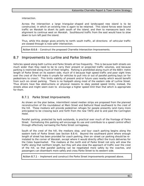
As shown on the plan below, intermittent raised median strips are proposed from the planned<br />
reconstruction of the roundabout at Main Street and Bathurst Road southward to the crest of<br />
the hill. These medians will provide pedestrian refuges for people presently (and many more<br />
anticipated to be crossing back and forth from the new TAFE) and to and past the Carrington<br />
Hotel.<br />
Parallel parking, protected by kerb outstands, is practical over much of the frontage of Parke<br />
Street. Formalising this parking will encourage its use and contribute to a speed control effect<br />
through effectively narrowing the Parke Street carriageway.<br />
South of the crest of the hill, the medians stop, and tour coach parking begins along the<br />
eastern kerb of Parke Street (see Section 8.8.4). Beyond the southward point where enough<br />
length of street has been provided for coach parking, then on-street car parking should be reinstated<br />
to the corner of Waratah, except where it would directly affect the truck deliveries for<br />
the Coles Supermarket. The medians at the north end of Parke Street not only will slow the<br />
traffic along that northern length, but they will also slow the approach of traffic over the crest<br />
of the hill, so that parallel parking can be negotiated more safely by the coaches, and<br />
passengers can disembark more safely and cross Parke Street to its western side.<br />
Action 8.7.1 - Implement and construct the Parke Street improvements proposed above.<br />
61