

Vegetation Classification and Mapping Project Report - USGS
Vegetation Classification and Mapping Project Report - USGS
Vegetation Classification and Mapping Project Report - USGS

You also want an ePaper? Increase the reach of your titles
YUMPU automatically turns print PDFs into web optimized ePapers that Google loves.
Base Map Class Development<br />
overlay as the work area for the photo.<br />
Fiducial marks (representing a fixed<br />
basis of reference) were transferred to<br />
each transparent polyester sheet, along<br />
with the park code <strong>and</strong> photo number. A<br />
stereoscope was used to help distinquish<br />
topographic features with elevational<br />
differences <strong>and</strong> details of photo signatures.<br />
Each photo of the northern section <strong>and</strong><br />
every other photo of the southern section<br />
was interpreted, <strong>and</strong> every other photo<br />
of the southern section. This decision<br />
was based on the preferences of each<br />
photointerpreter after ensuring that<br />
joining the northern <strong>and</strong> southern sets of<br />
transparent polyester sheets would not<br />
create problems in the final map.<br />
The ground reference data for<br />
photointerpretation was supplied by<br />
the field reconnaissance observations,<br />
classification relevés, <strong>and</strong> the 1996<br />
sampling data. Cully <strong>and</strong> McTeague<br />
developed a list of provisional base<br />
map classes that represented the plant<br />
communities as seen in the aerial<br />
photography. They labeled the polygons<br />
using known <strong>and</strong> interpreted relationships<br />
among the photo signatures, the ground<br />
reference data, <strong>and</strong> the provisional base<br />
map classes. Adjustments were made to<br />
the provisional base map classes <strong>and</strong> to<br />
the plant community classification during<br />
this phase of the project. Adjustments<br />
consisted of<br />
● adding map classes to the l<strong>and</strong> use<br />
classification, based on observations<br />
during field reconnaissance<br />
● including unique st<strong>and</strong>s of plant communities<br />
into existing map classes<br />
● exp<strong>and</strong>ing provisional map class concepts<br />
to include field observed plant<br />
communities<br />
Cully <strong>and</strong> McTeague identified each<br />
delineated map class with a numeric<br />
code referencing its provisional map class<br />
assignment <strong>and</strong> any modifiers applicable<br />
to the polygon. The modifiers, developed<br />
in coordination with the Northern<br />
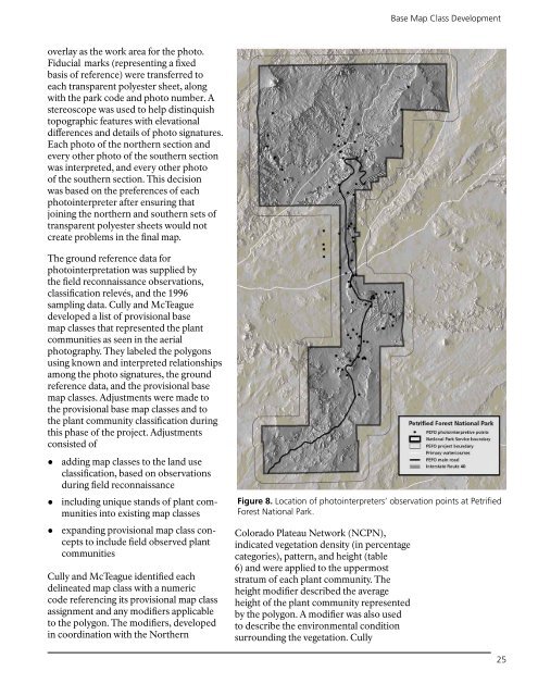
Figure 8. Location of photointerpreters’ observation points at Petrified<br />
Forest National Park.<br />
Colorado Plateau Network (NCPN),<br />
indicated vegetation density (in percentage<br />
categories), pattern, <strong>and</strong> height (table<br />
6) <strong>and</strong> were applied to the uppermost<br />
stratum of each plant community. The<br />
height modifier described the average<br />
height of the plant community represented<br />
by the polygon. A modifier was also used<br />
to describe the environmental condition<br />
surrounding the vegetation. Cully<br />
25


