SCHEDULE 1 - DEVELOPMENT PERMIT AREAS - City of Kamloops
SCHEDULE 1 - DEVELOPMENT PERMIT AREAS - City of Kamloops
SCHEDULE 1 - DEVELOPMENT PERMIT AREAS - City of Kamloops
Create successful ePaper yourself
Turn your PDF publications into a flip-book with our unique Google optimized e-Paper software.
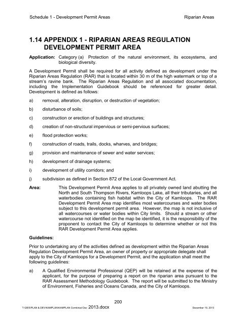
Schedule 1 - Development Permit AreasRiparian Areas1.14 APPENDIX 1 - RIPARIAN <strong>AREAS</strong> REGULATION<strong>DEVELOPMENT</strong> <strong>PERMIT</strong> AREAApplication: Category (a) Protection <strong>of</strong> the natural environment, its ecosystems, andbiological diversity.A Development Permit shall be required for all activity defined as development under theRiparian Areas Regulation (RAR) that is located within 30 m <strong>of</strong> the high watermark or top <strong>of</strong> astream’s ravine bank. The Riparian Areas Regulation and all associated documentation,including the Implementation Guidebook should be referenced for greater detail.Development is defined as follows:a) removal, alteration, disruption, or destruction <strong>of</strong> vegetation;b) disturbance <strong>of</strong> soils;c) construction or erection <strong>of</strong> buildings and structures;d) creation <strong>of</strong> non-structural impervious or semi-pervious surfaces;e) flood protection works;f) construction <strong>of</strong> roads, trails, docks, wharves, and bridges;g) provision and maintenance <strong>of</strong> sewer and water services;h) development <strong>of</strong> drainage systems;i) development <strong>of</strong> utility corridors; andj) subdivision as defined in Section 872 <strong>of</strong> the Local Government Act.Area:This Development Permit Area applies to all privately owned land abutting theNorth and South Thompson Rivers, <strong>Kamloops</strong> Lake, all their tributaries, and allwaterbodies containing fish habitat within the <strong>City</strong> <strong>of</strong> <strong>Kamloops</strong>. The RARDevelopment Permit Area map identifies most watercourses and water bodiessubject to this development permit area. However, the map is not inclusive <strong>of</strong>all watercourses or water bodies within <strong>City</strong> limits. Should a stream or otherwatercourse not identified on the map be identified, it is the responsibility <strong>of</strong> theproponent to contact the <strong>City</strong> <strong>of</strong> <strong>Kamloops</strong> to determine whether or not thisRAR Development Permit Area applies.Guidelines:Prior to undertaking any <strong>of</strong> the activities defined as development within the Riparian AreasRegulation Development Permit Area, an owner <strong>of</strong> property or appropriate delegate shallapply to the <strong>City</strong> <strong>of</strong> <strong>Kamloops</strong> for a Development Permit, and the application shall meet thefollowing guidelines:a) A Qualified Environmental Pr<strong>of</strong>essional (QEP) will be retained at the expense <strong>of</strong> theapplicant, for the purpose <strong>of</strong> preparing a report on the riparian area pursuant to theRAR Assessment Methodology Guidebook. The report will be submitted to the Ministry<strong>of</strong> Environment, Fisheries and Oceans Canada, and the <strong>City</strong> <strong>of</strong> <strong>Kamloops</strong>.200T:\DES\PLAN & DEV\KAMPLAN\KAMPLAN Combined Dec 2013.docx December 19, 2013


