PROJETO RADAMBRASIL
PROJETO RADAMBRASIL
PROJETO RADAMBRASIL
Create successful ePaper yourself
Turn your PDF publications into a flip-book with our unique Google optimized e-Paper software.
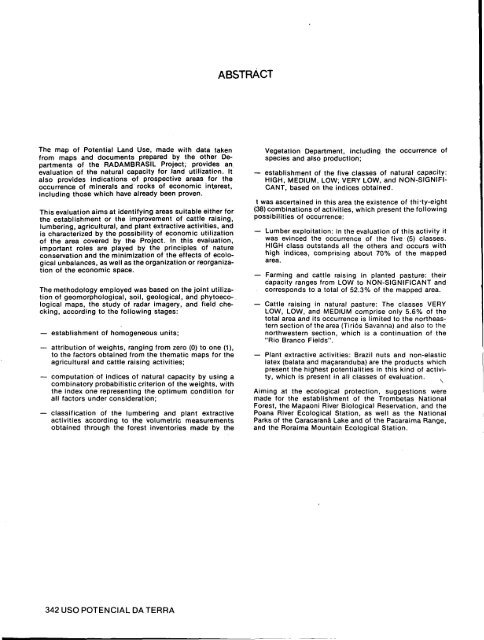
The map of Potential Land Use, made with data taken<br />
from maps and documents prepared by the other Departments<br />
of the <strong>RADAMBRASIL</strong> Project, provides an<br />
evaluation of the natural capacity for land utilization. It<br />
also provides indications of prospective areas for the<br />
occurrence of minerals and rocks of economic interest,<br />
including those which have already been proven.<br />
This evaluation aims at identifying areas suitable either for<br />
the establishment or the improvement of cattle raising,<br />
lumbering, agricultural, and plant extractive activities, and<br />
is characterized by the possibility of economic utilization<br />
of the area covered by the Project. In this evaluation,<br />
important roles are played by the principles of nature<br />
conservation and the minimization of the effects of ecological<br />
unbalances, as well as the organization or reorganization<br />
of the economic space.<br />
The methodology employed was based on the joint utilization<br />
of geomorphological, soil, geological, and phytoecological<br />
maps, the study of radar imagery, and field checking,<br />
according to the following stages:<br />
— establishment of homogeneous units;<br />
— attribution of weights, ranging from zero (0) to one (1),<br />
to the factors obtained from the thematic maps for the<br />
agricultural and cattle raising activities;<br />
— computation of indices of natural capacity by using a<br />
combinatory probabilistic criterion of the weights, with<br />
the index one representing the optimum condition for<br />
all factors under consideration;<br />
— classification of the lumbering and plant extractive<br />
activities according to the volumetric measurements<br />
obtained through the forest inventories made by the<br />
342 USO POTENCIAL DA TERRA<br />
ABSTRACT<br />
Vegetation Department, including the occurrence of<br />
species and also production;<br />
— establishment of the five classes of natural capacity:<br />
HIGH, MEDIUM, LOW, VERY LOW, and NON-SIGNIFI<br />
CANT, based on the indices obtained.<br />
t was ascertained in this area the existence of thi-ty-eight<br />
(38) combinations of activities, which present the following<br />
possibilities of occurrence:<br />
— Lumber exploitation: in the evaluation of this activity it<br />
was evinced the occurrence of the five (5) classes.<br />
HIGH class outstands all the others and occurs with<br />
high indices, comprising about 70% of the mapped<br />
area.<br />
— Farming and cattle raising in planted pasture: their<br />
capacity ranges from LOW to NON-SIGNIFICANT and<br />
corresponds to a total of 52.3% of the mapped area.<br />
— Cattle raising in natural pasture: The classes VERY<br />
LOW, LOW, and MEDIUM comprise only 5.6% of the<br />
total area and its occurrence is limited to the northeastern<br />
section of the area (Tiriós Savanna) and also to the<br />
northwestern section, which is a continuation of the<br />
"Rio Branco Fields".<br />
— Plant extractive activities: Brazil nuts and non-elastic<br />
latex (balata and macaranduba) are the products which<br />
present the highest potentialities in this kind of activity,<br />
which is present in all classes of evaluation.<br />
Aiming at the ecological protection, suggestions were<br />
made for the establishment of the Trombetas National<br />
Forest, the Mapaoni River Biological Reservation, and the<br />
Poana River Ecological Station, as well as the National<br />
Parks of the Caracaranä Lake and of the Pacaraima Range,<br />
and the Roraima Mountain Ecological Station.


